| Home |
|
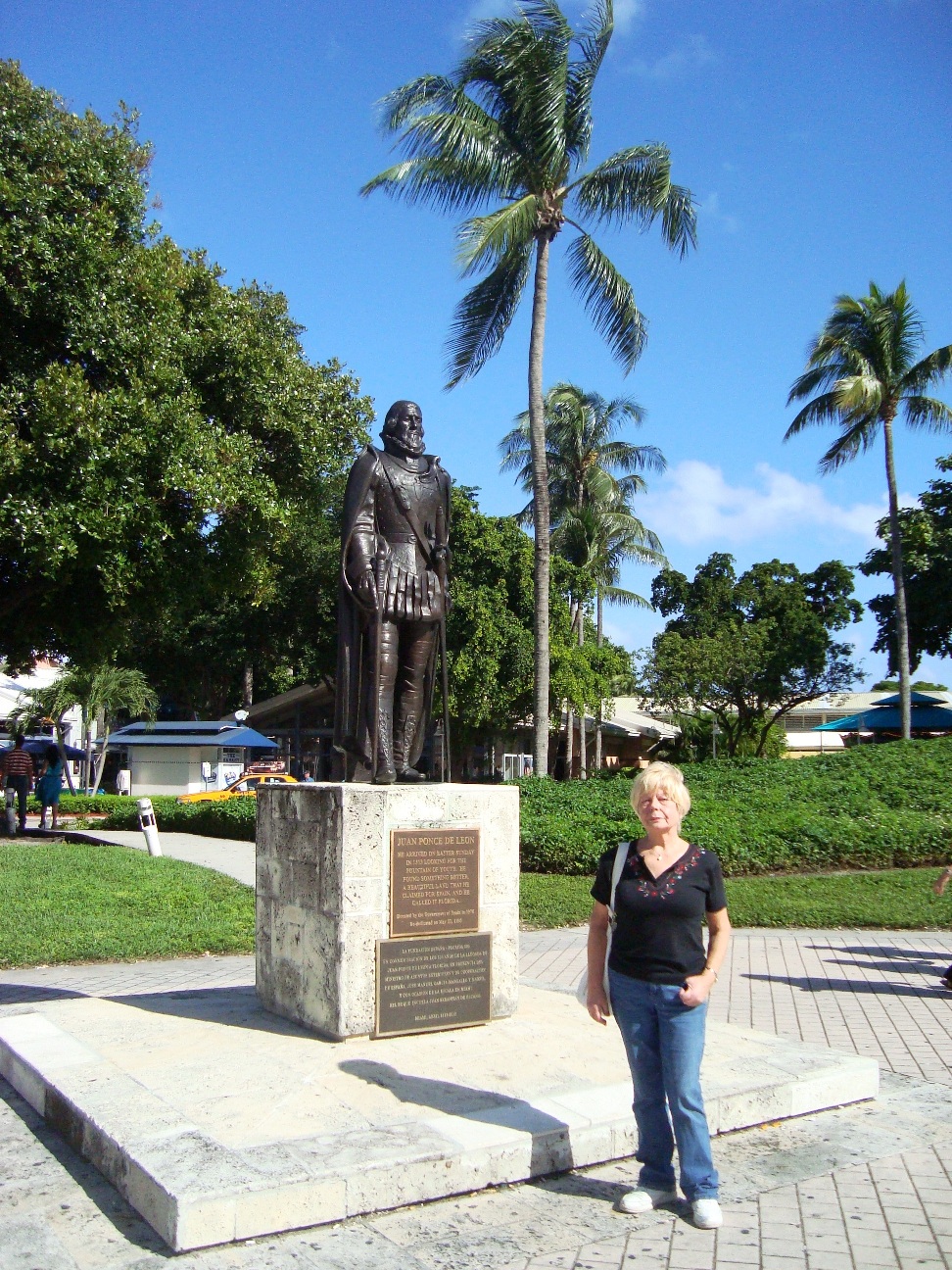
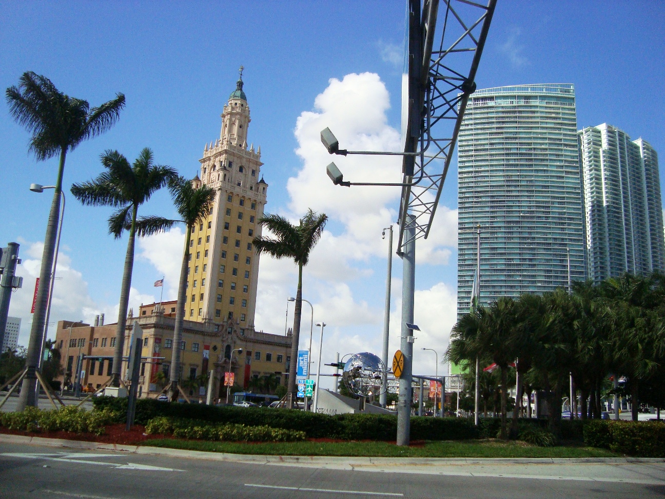
US FL |
Weather:
|

|
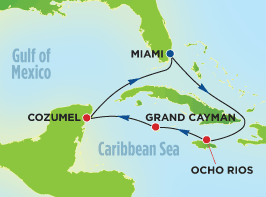
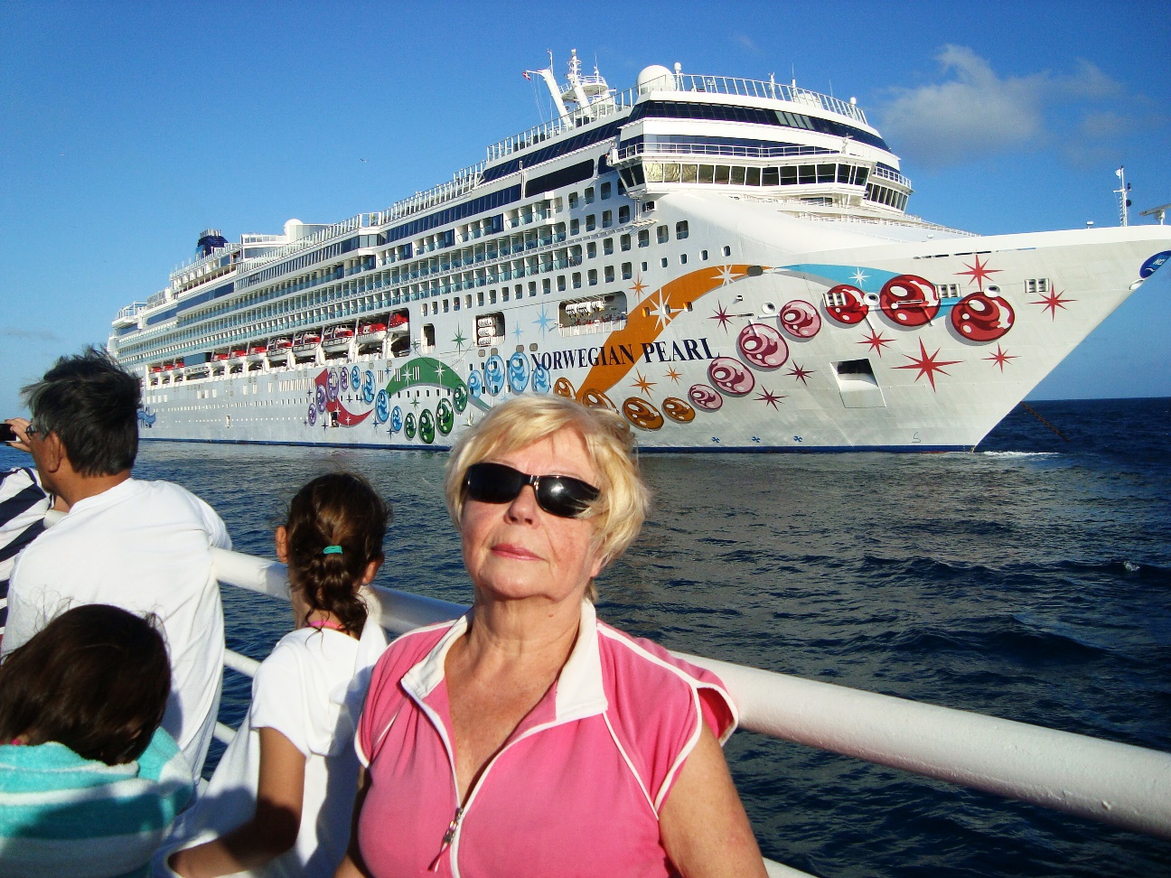
| 7 Nights Western Caribbean Cruise December, 2013 | ||
| Route: | History: | |||||
|
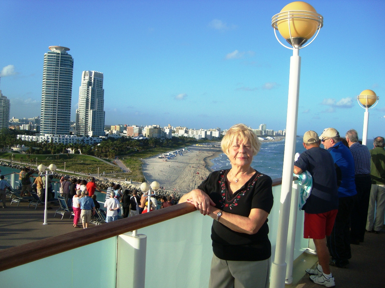
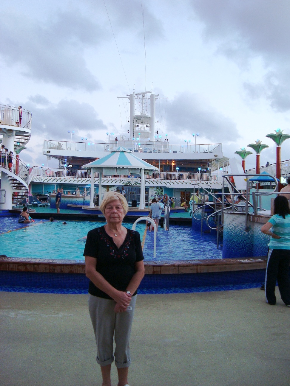
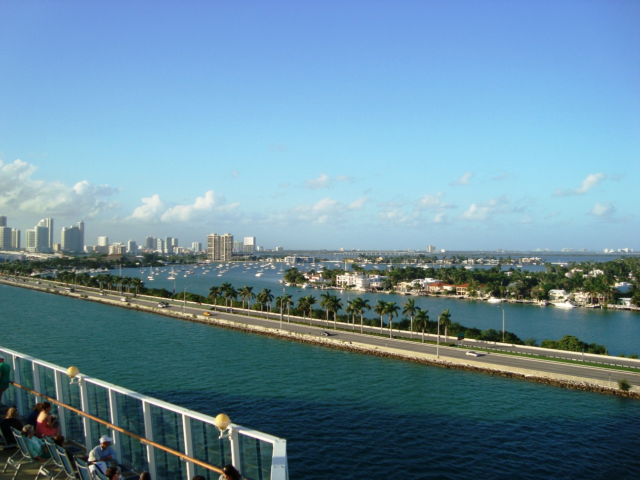
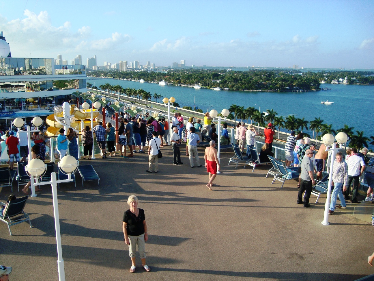
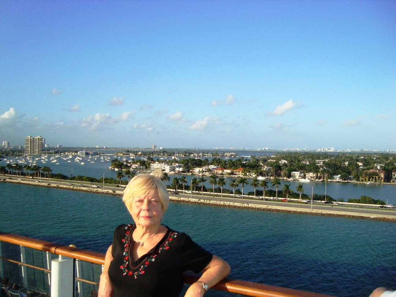
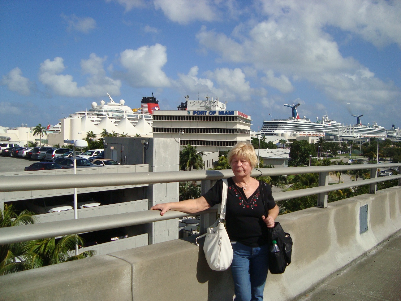
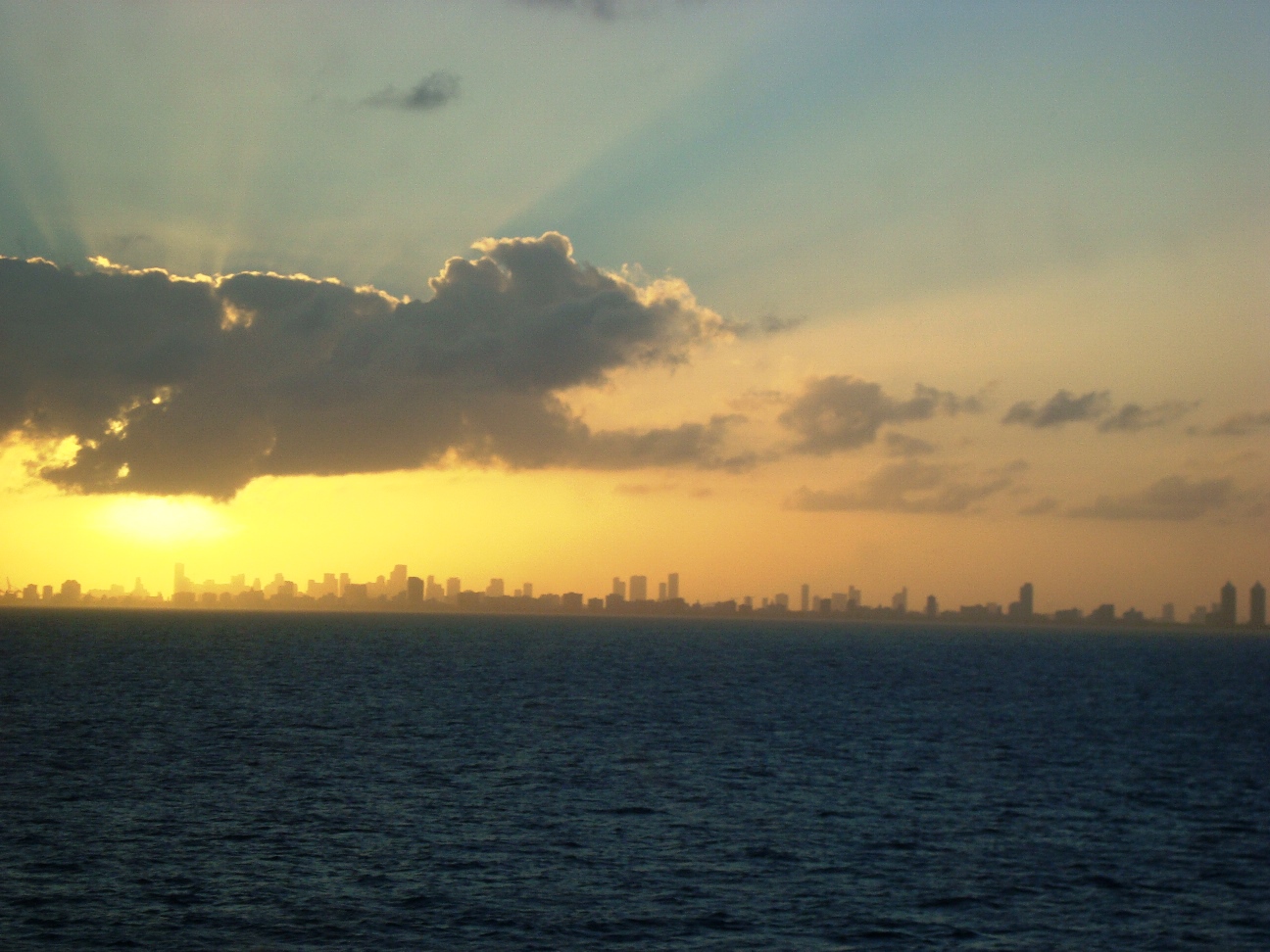
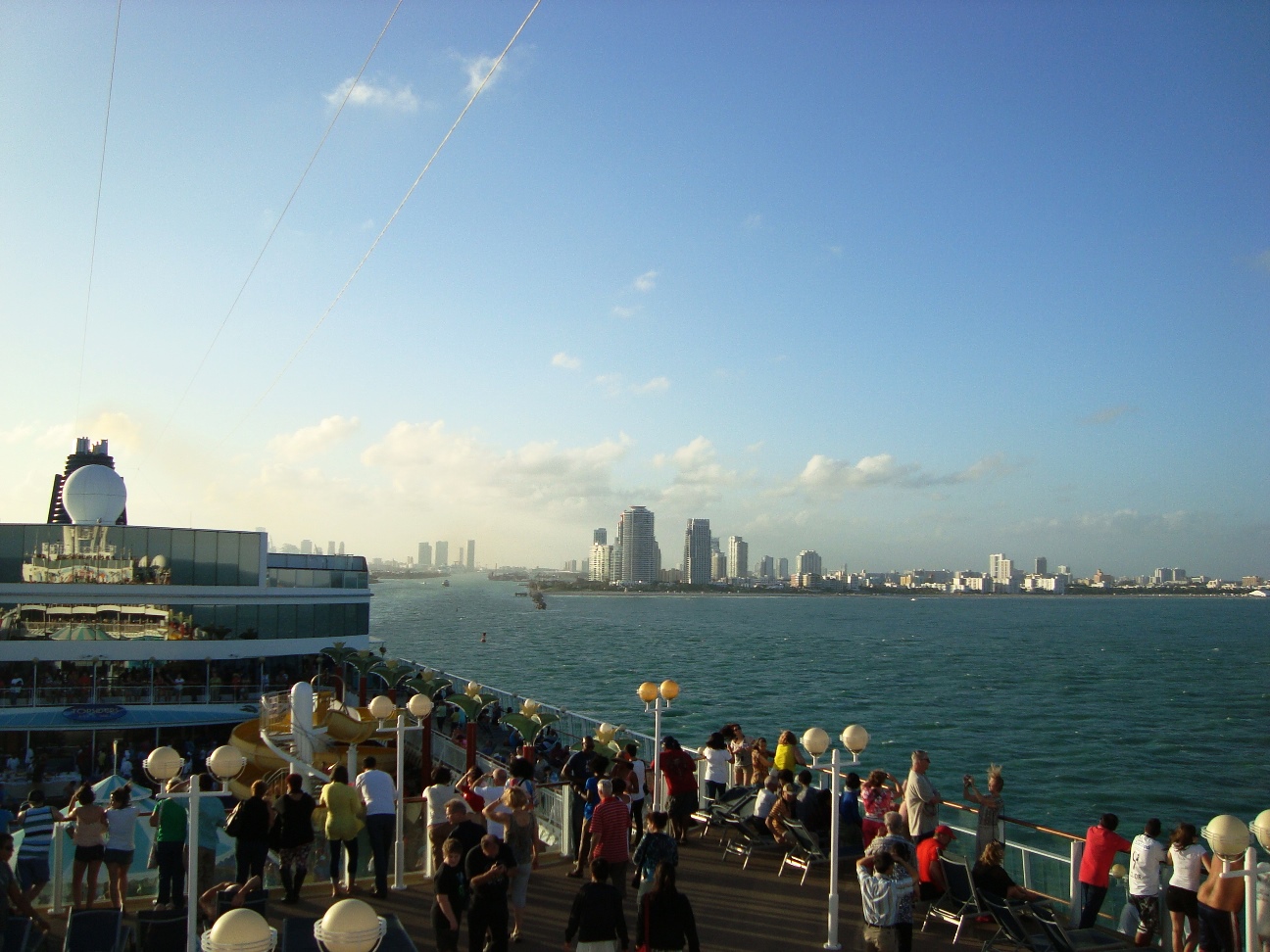
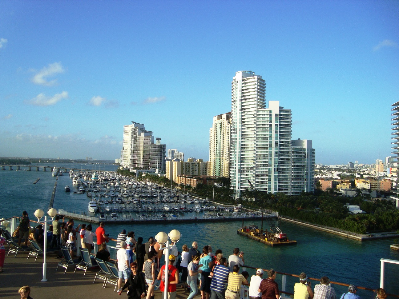
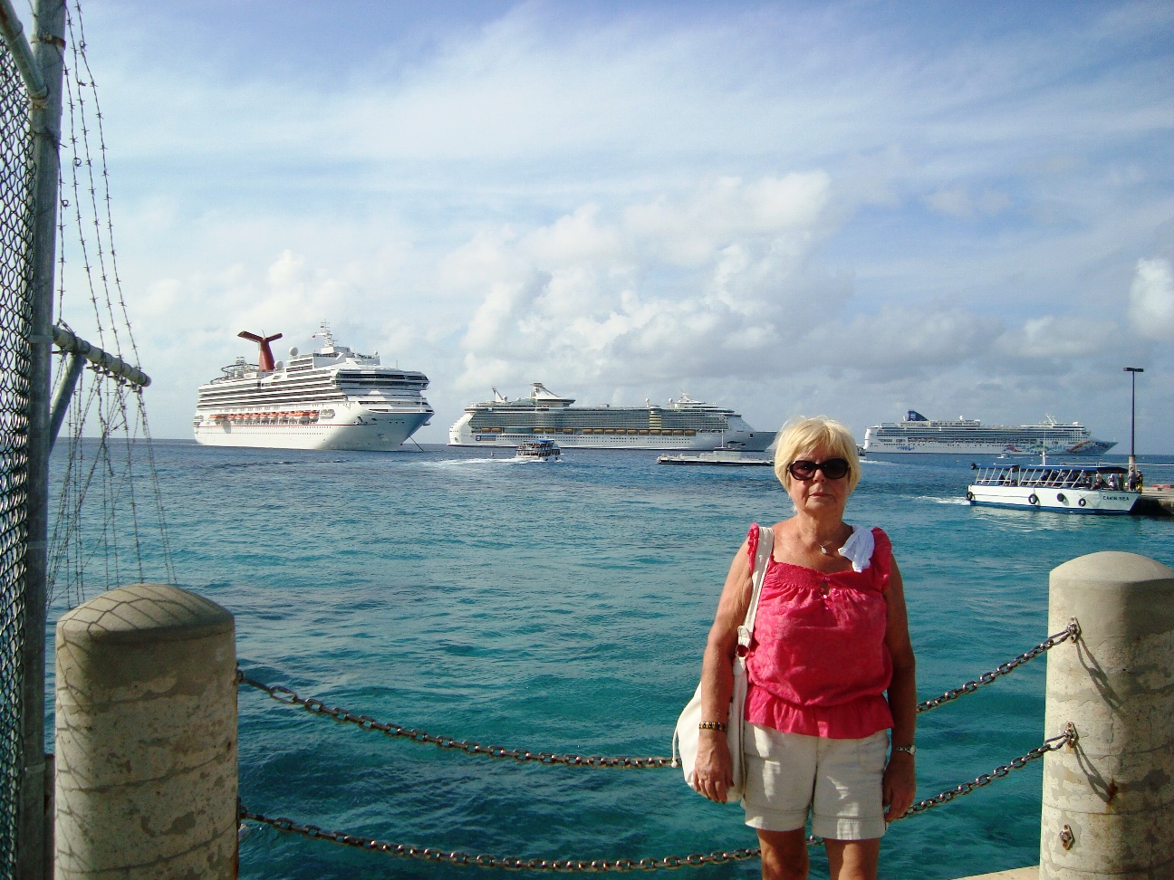
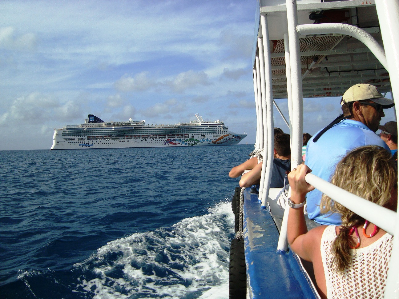
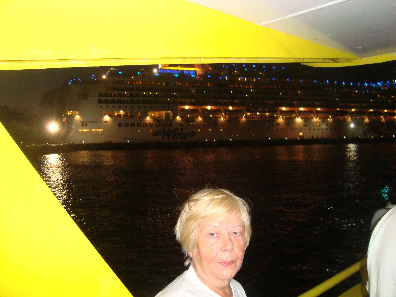
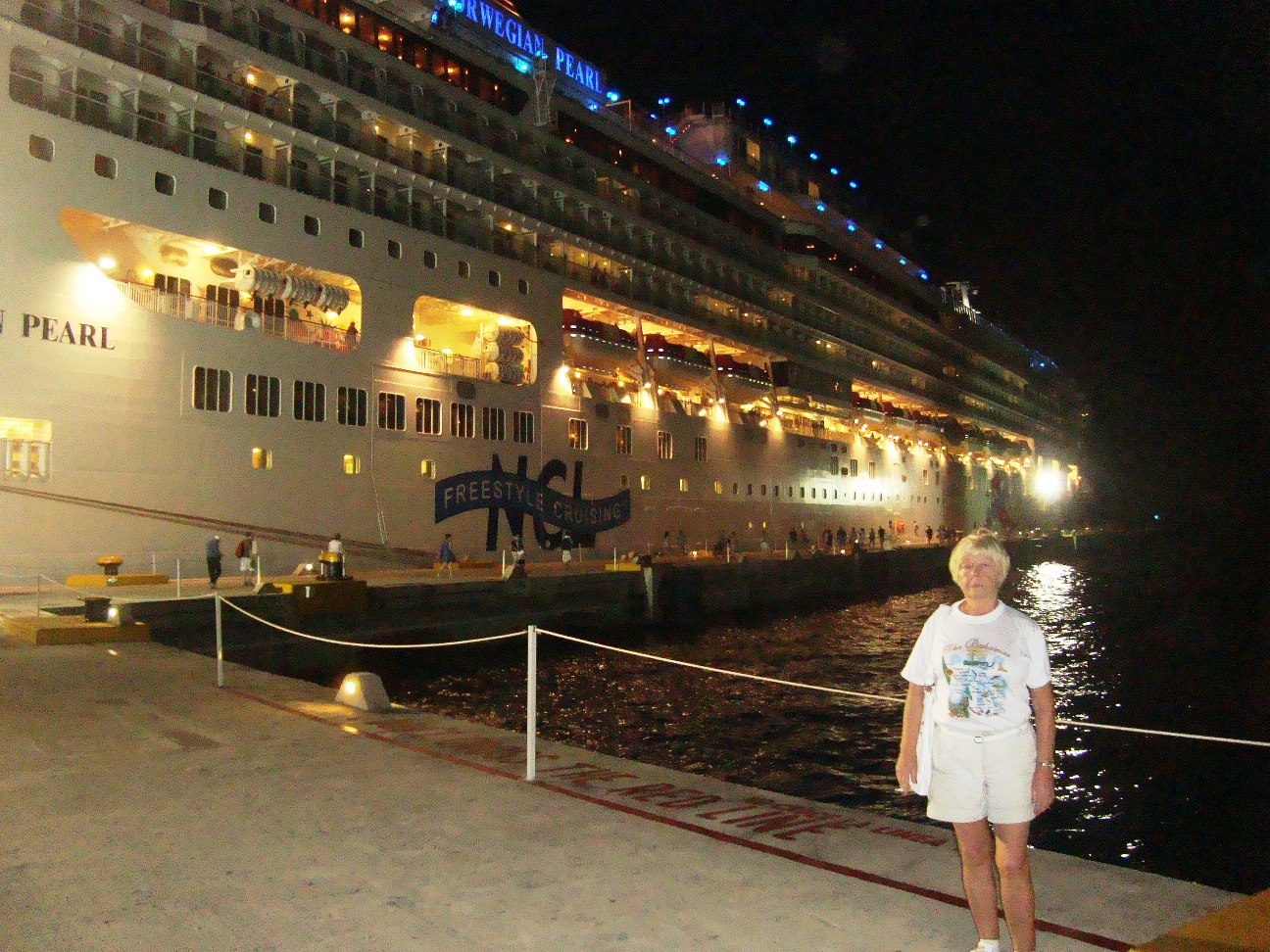
When: December 8-15, 2013
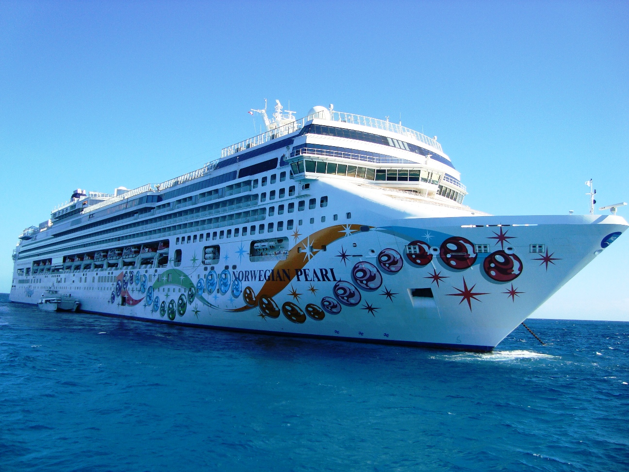
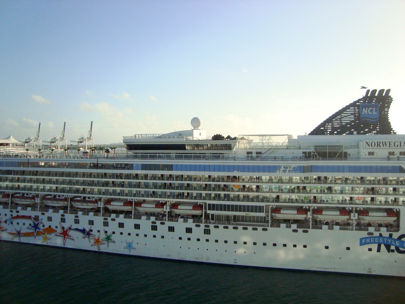
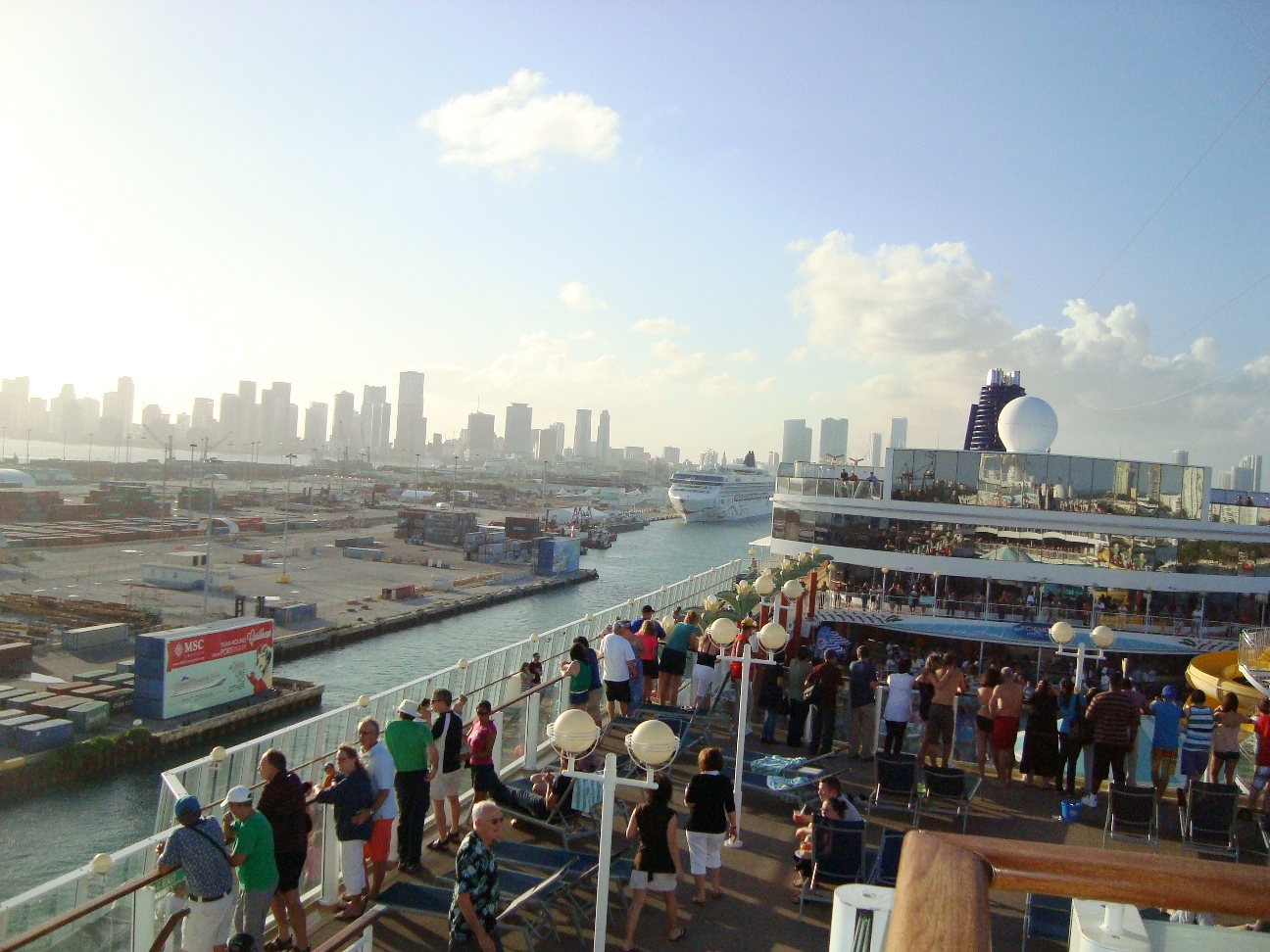
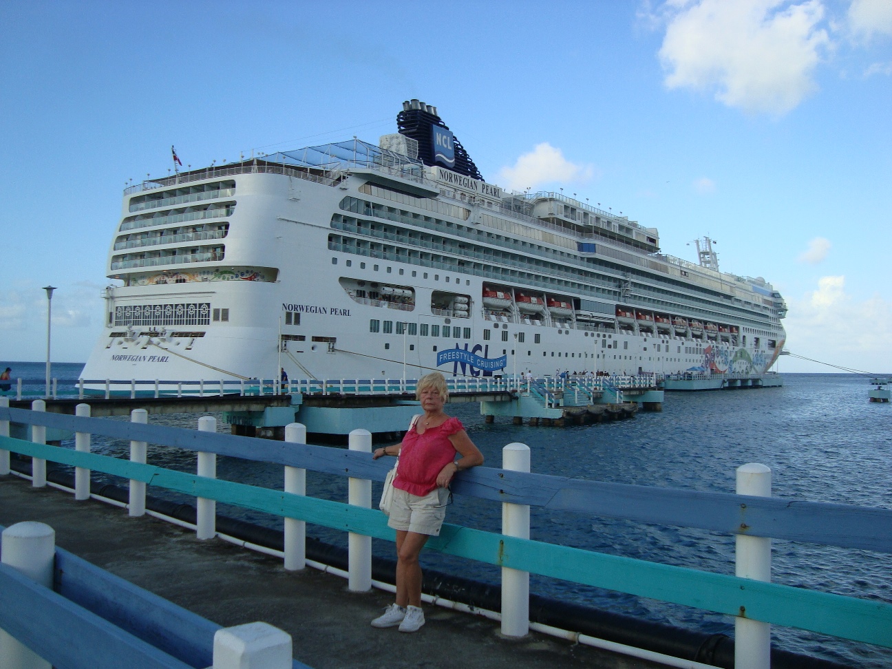
Where: Miami, FL - Great Stirrip Cay, Bahamas - At Sea - Ocho Rios, Jamaica - Georgetown, Cayman Islands - Cozumel, Mexico - Miami, FL How: Ship NCL Norvegian Pearl |
|
During the Age of Discovery in the 15th-16th centuries, Portugal and Spain pioneered European exploration of the globe, and established large overseas empires. |

|
Envious of the great wealth these empires generated, England, France, and the Netherlands, began to establish colonies and trade networks of their own in the Americas and Asia. A series of wars in the 17th-18th centuries with the Netherlands and France left England (Great Britain) the dominant colonial power in North America and India. |

|

|
|
|
|
|
|
|
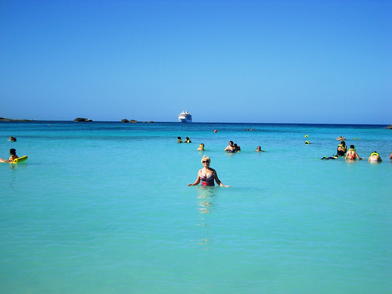
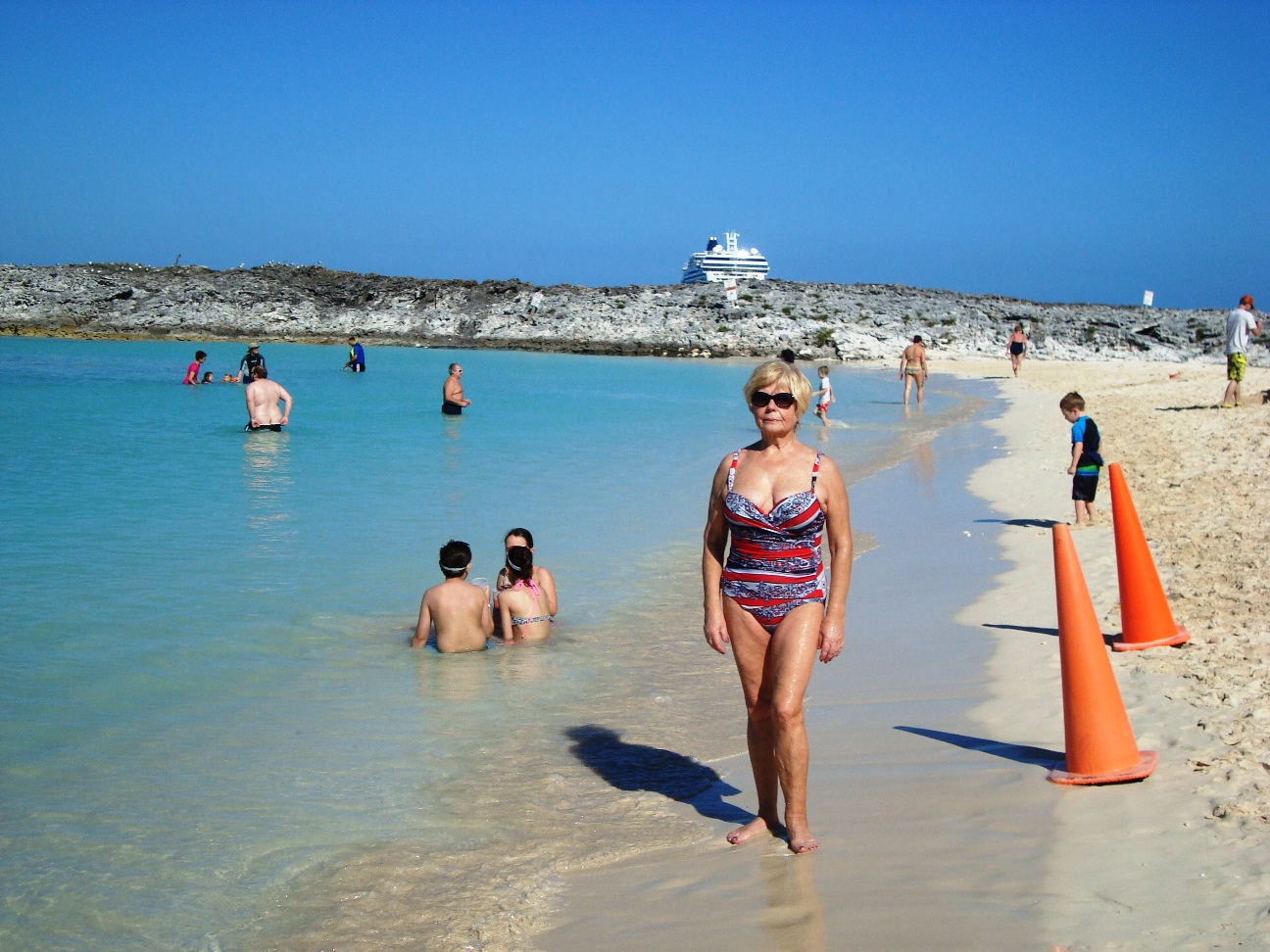
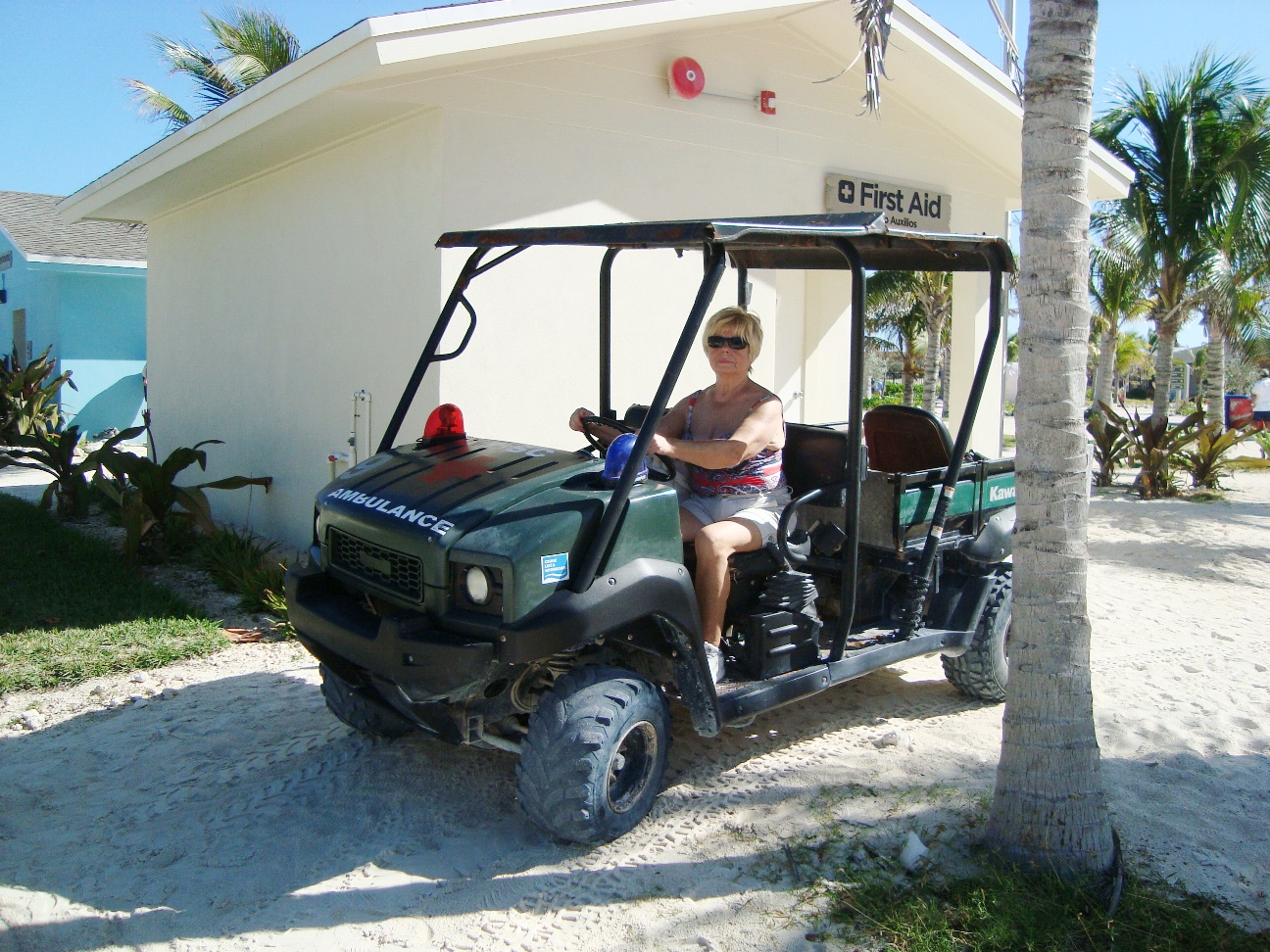
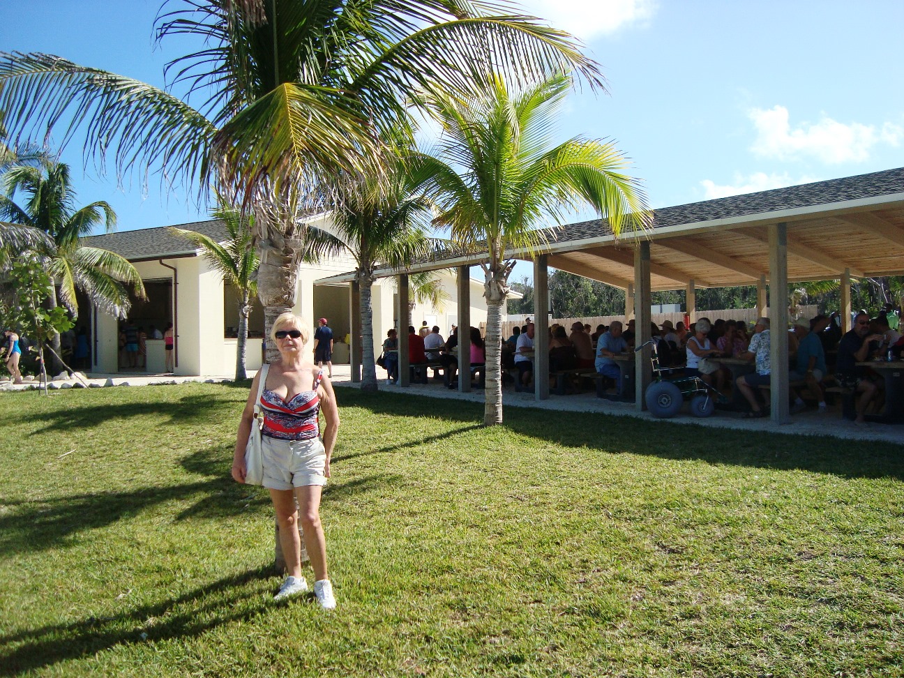
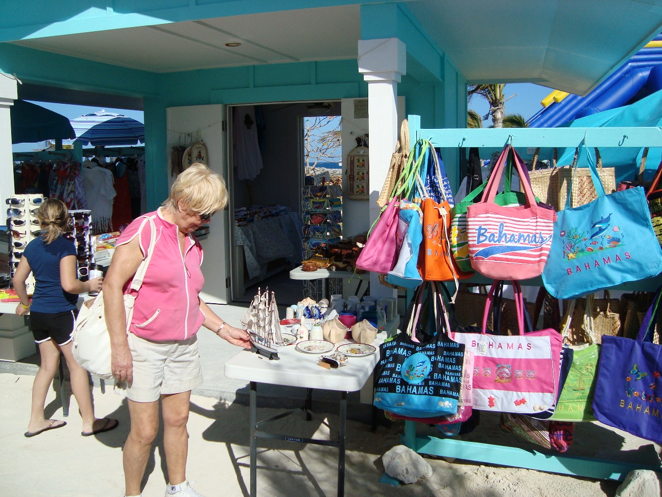
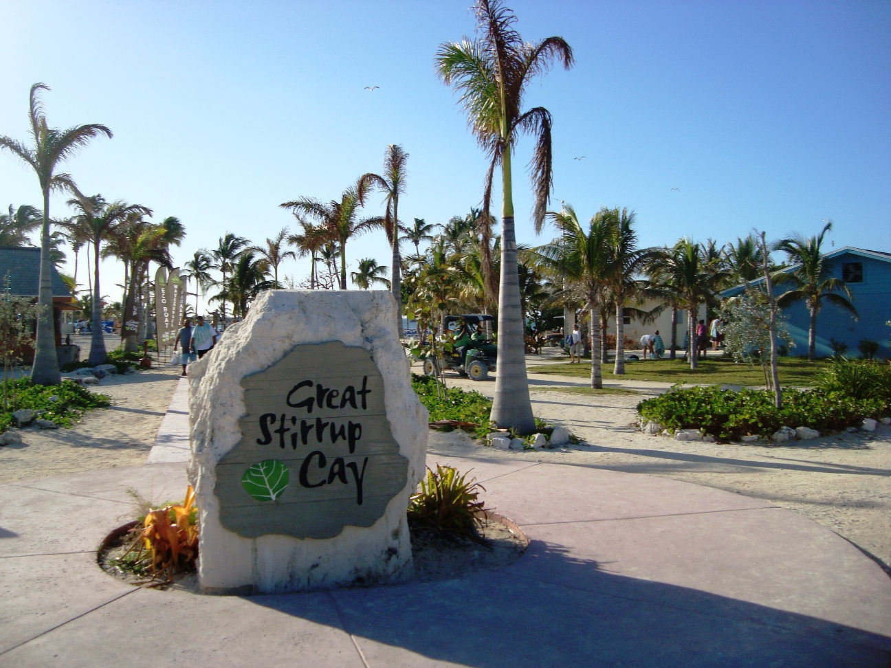
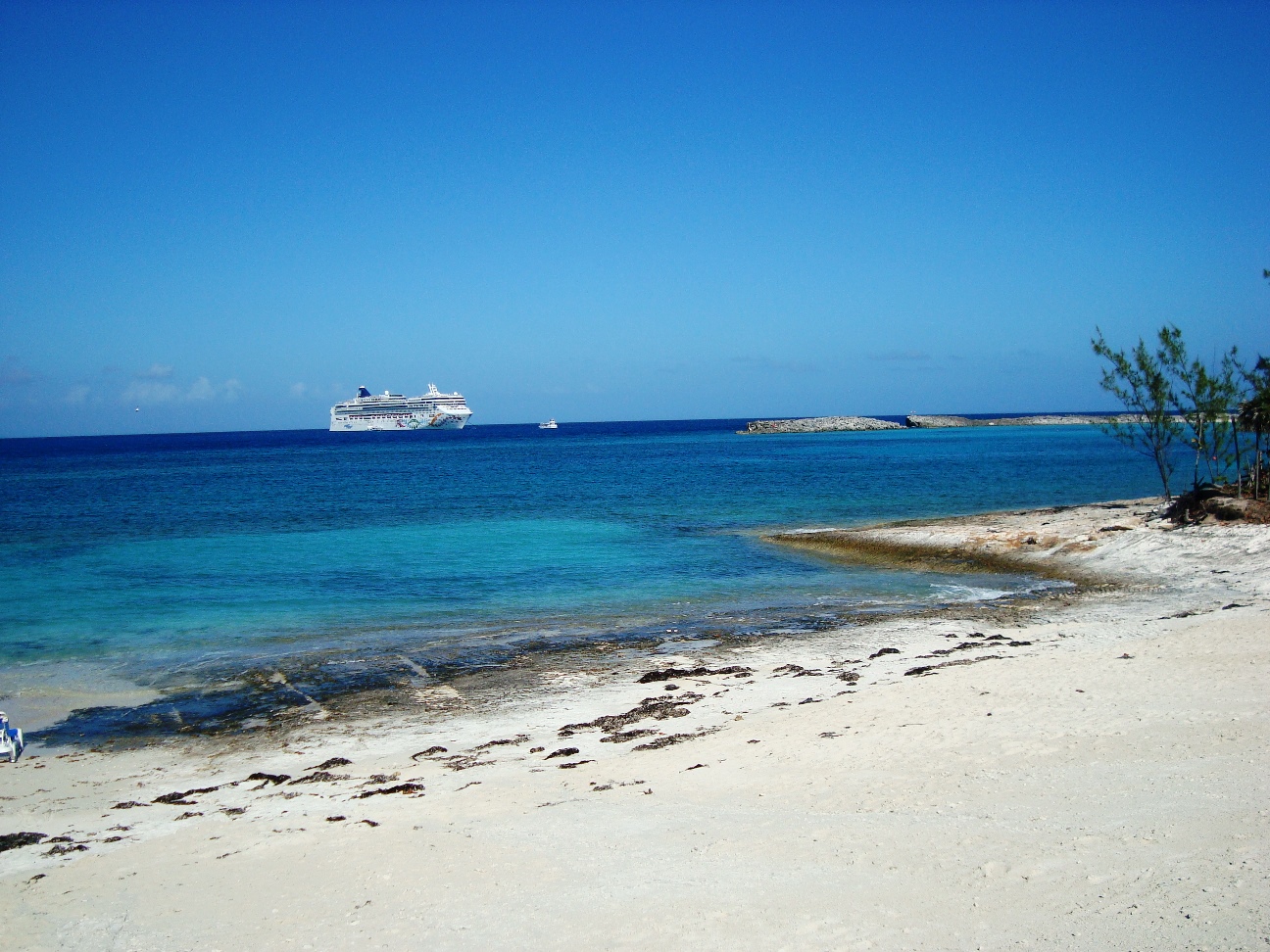
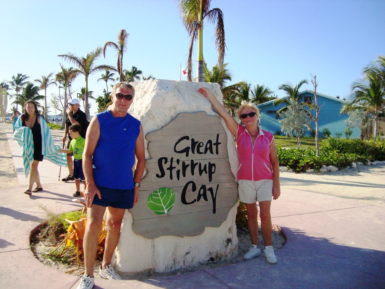
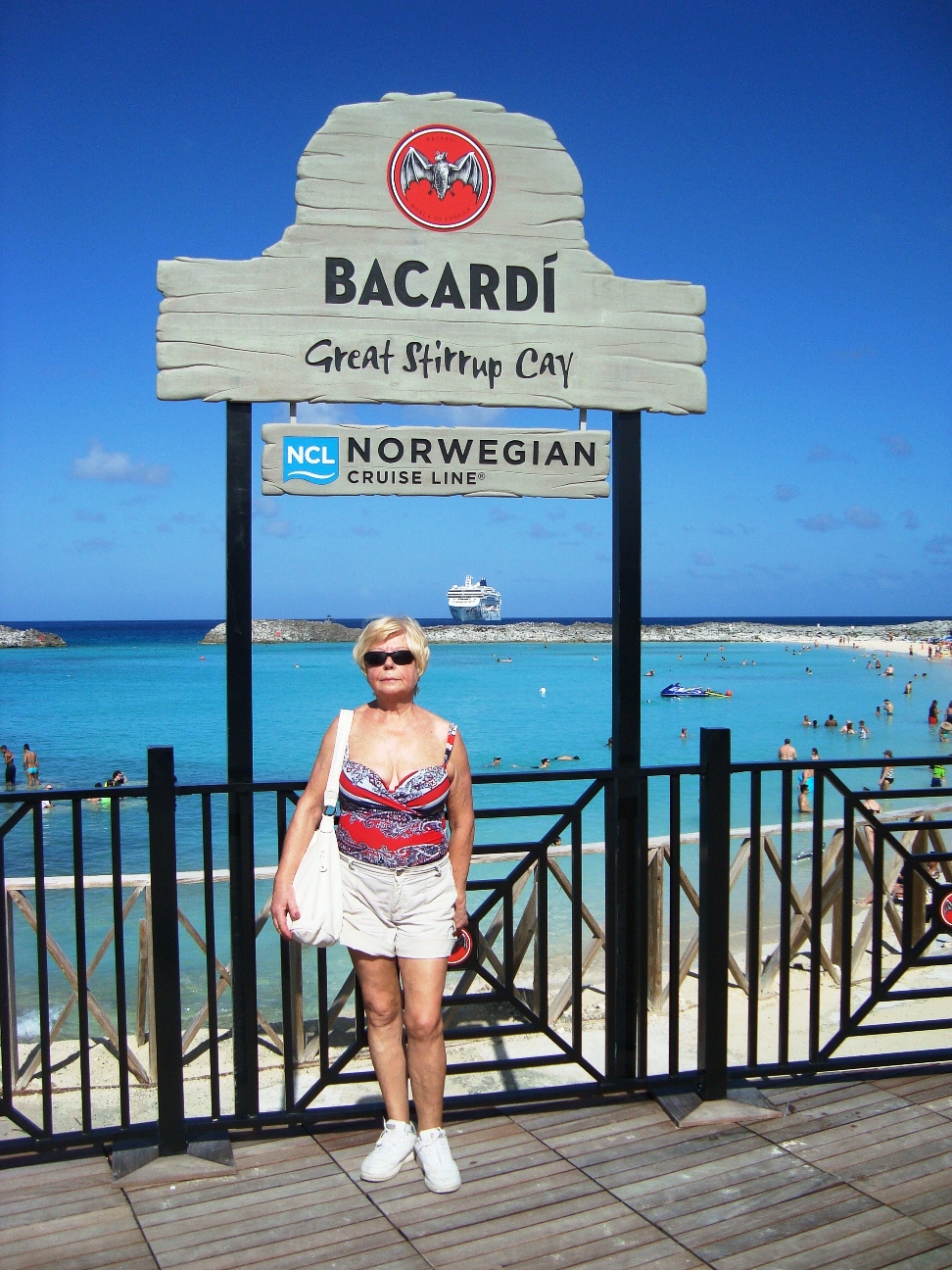
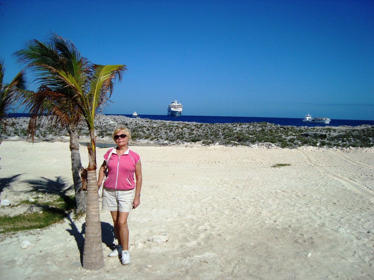
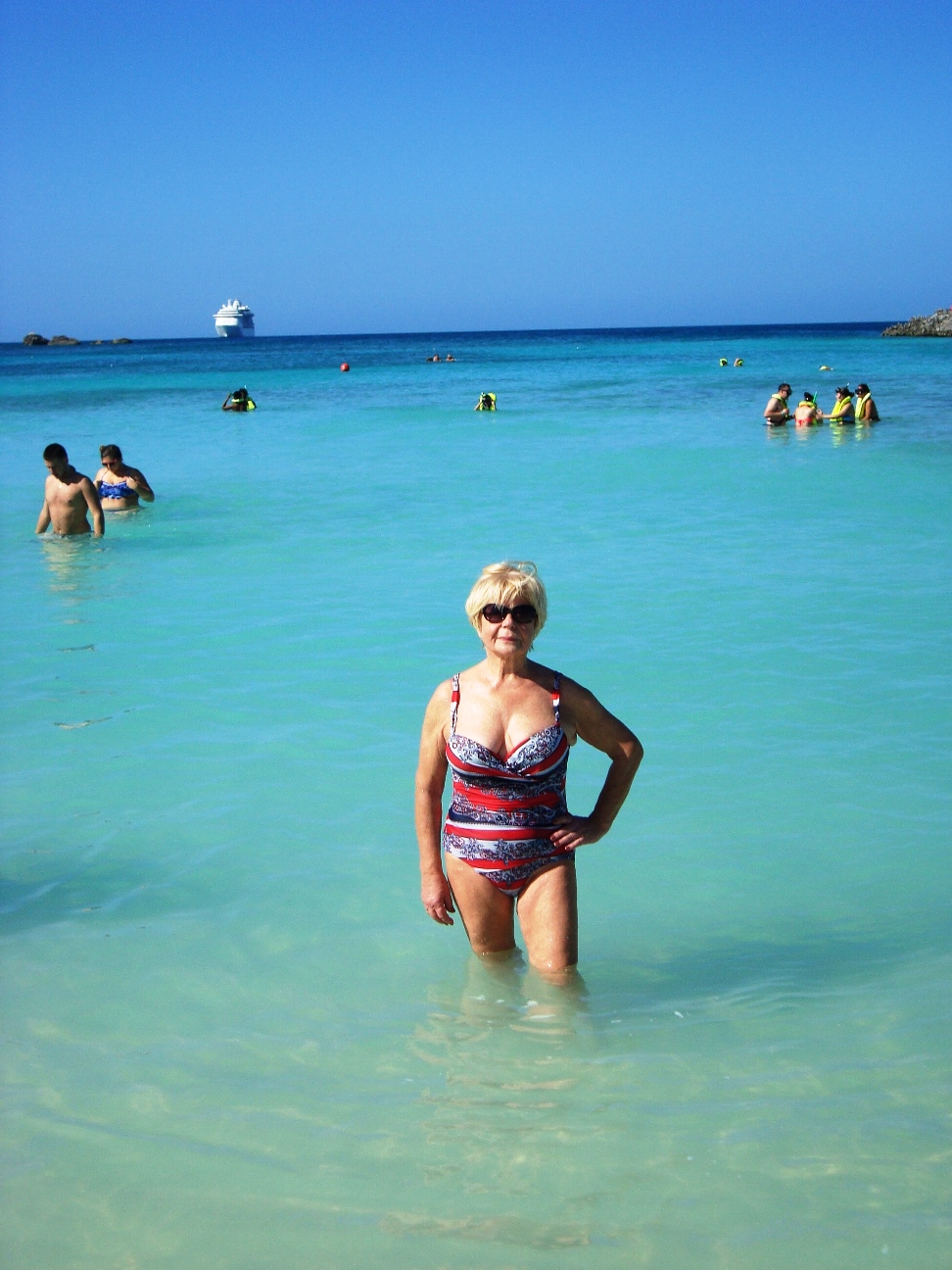
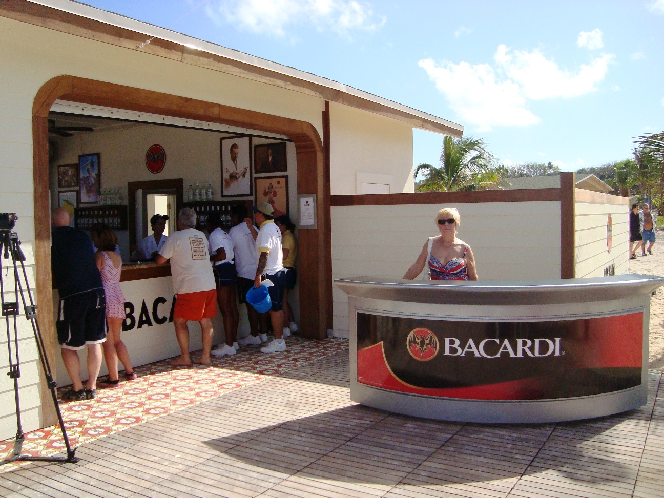
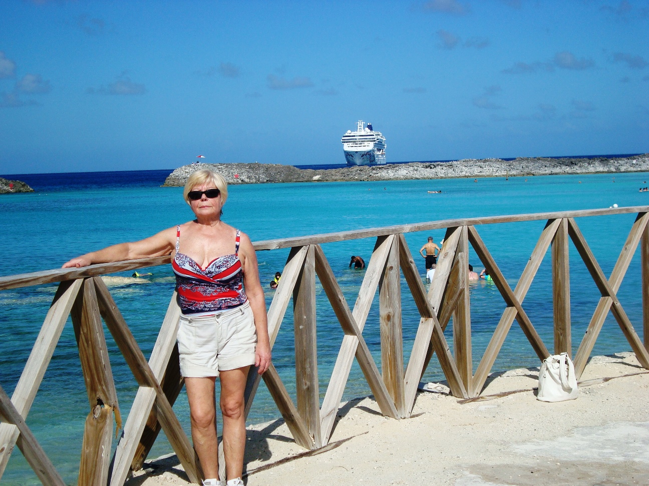
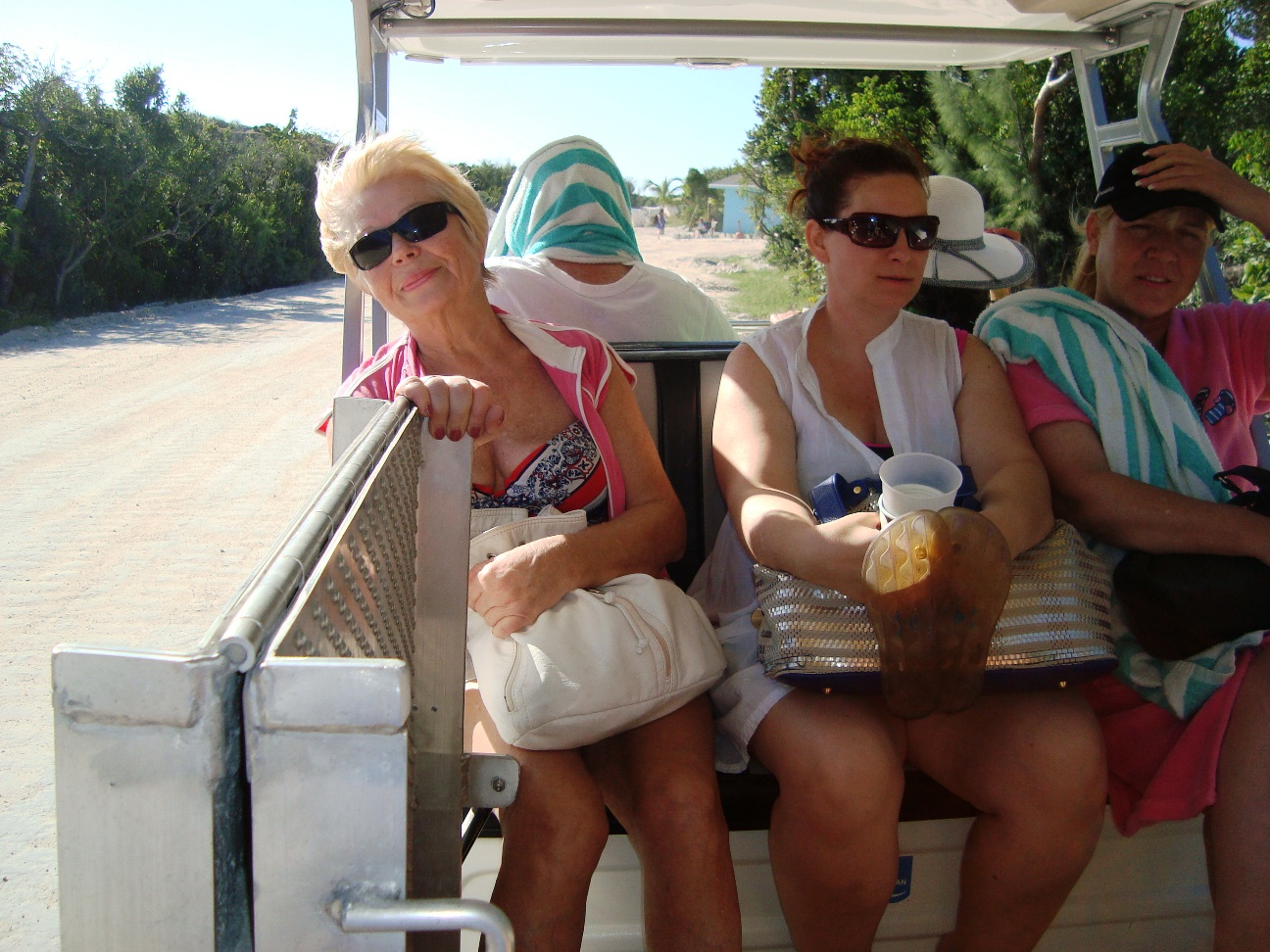
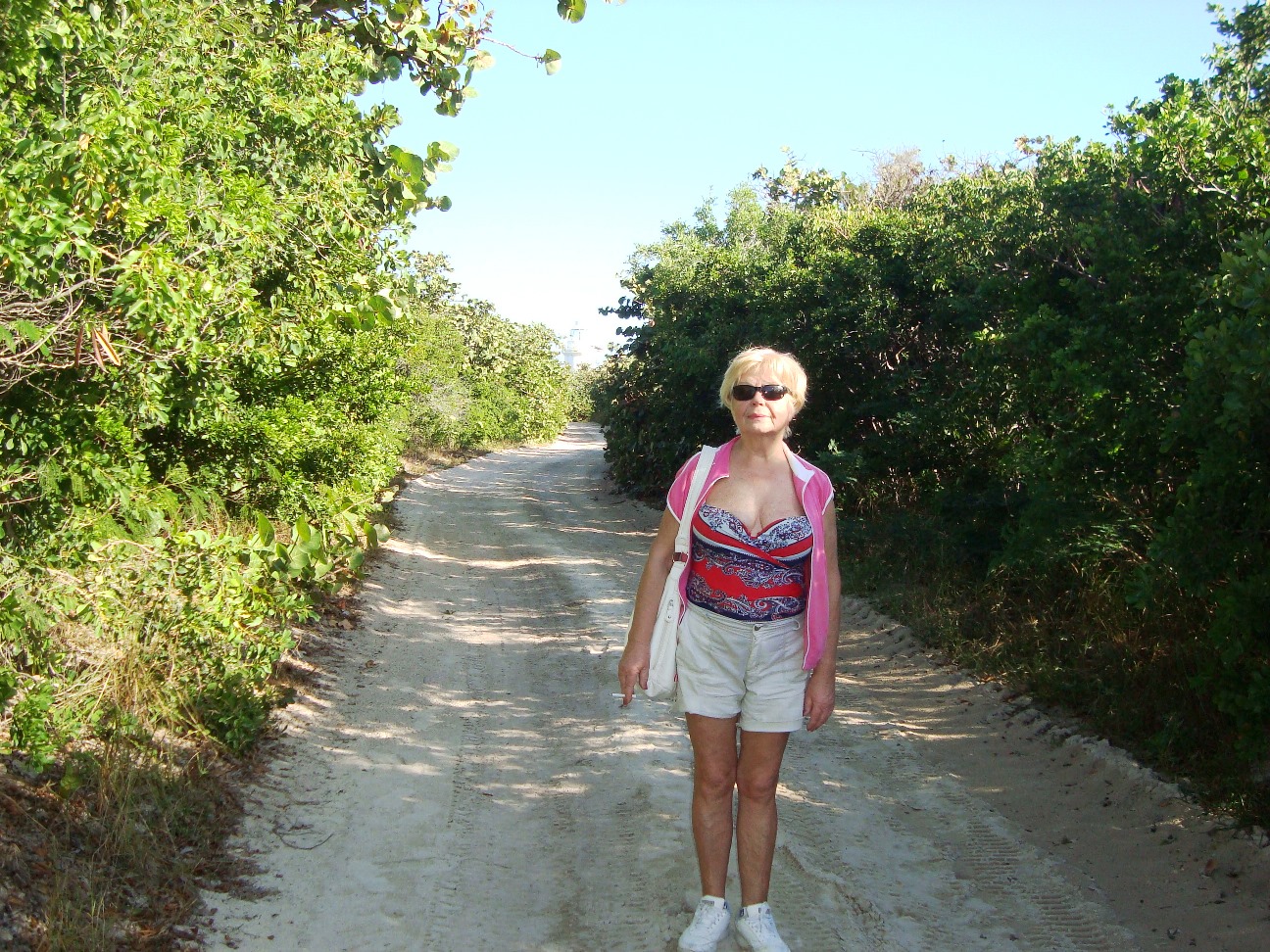
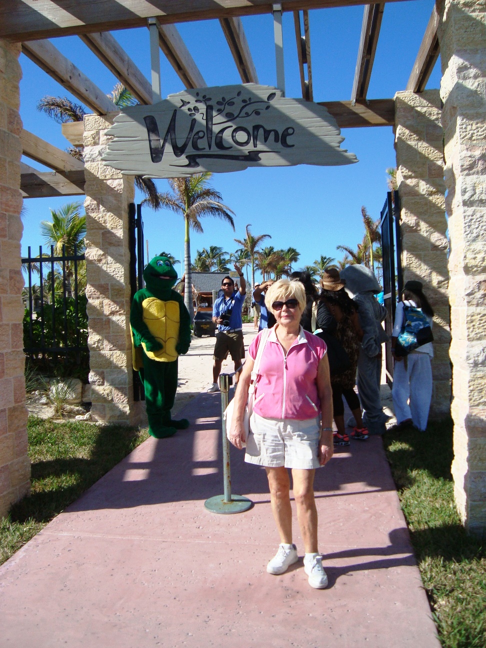
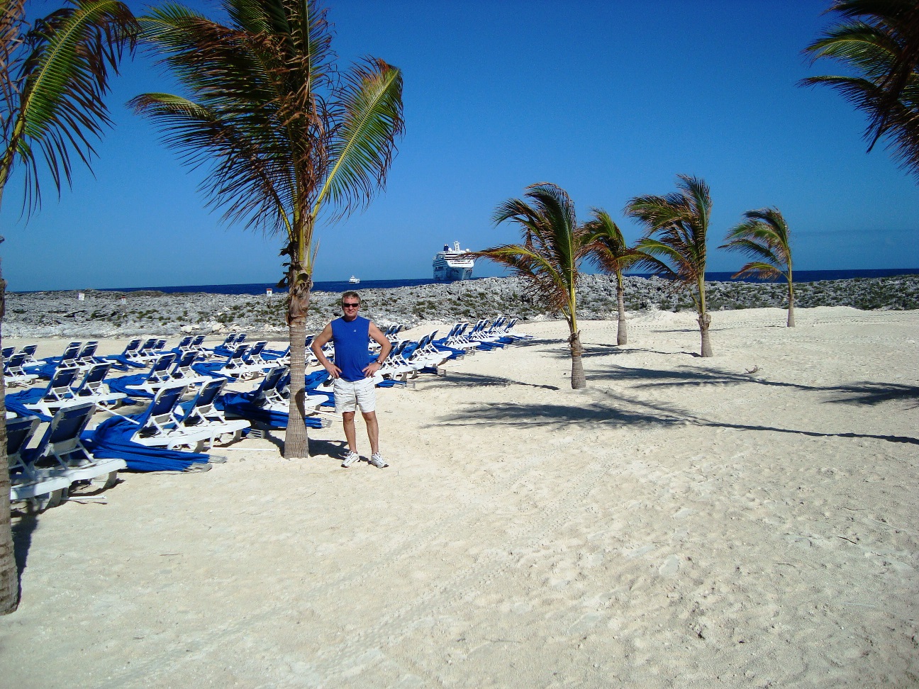
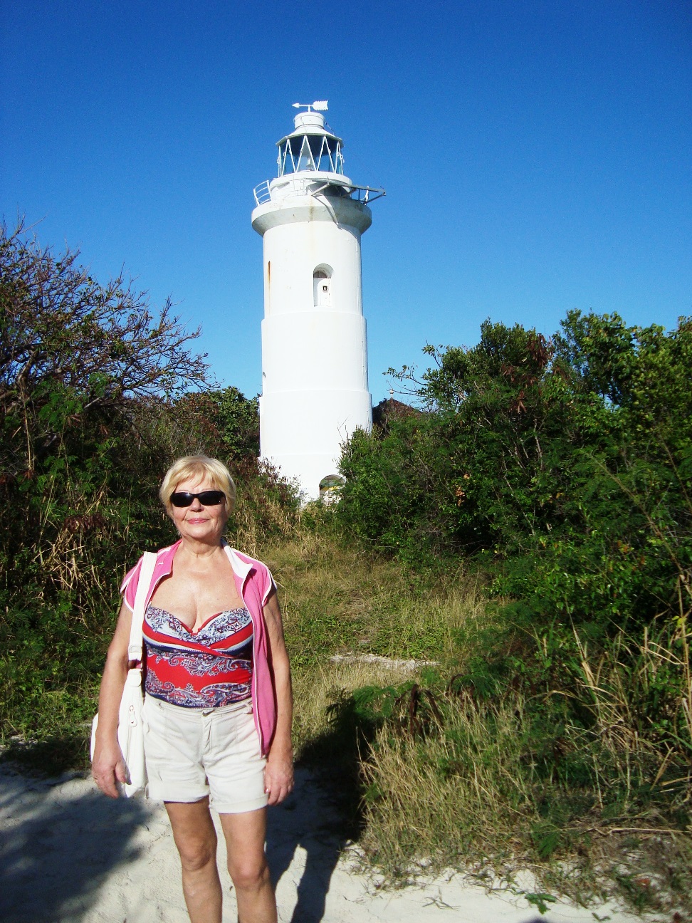
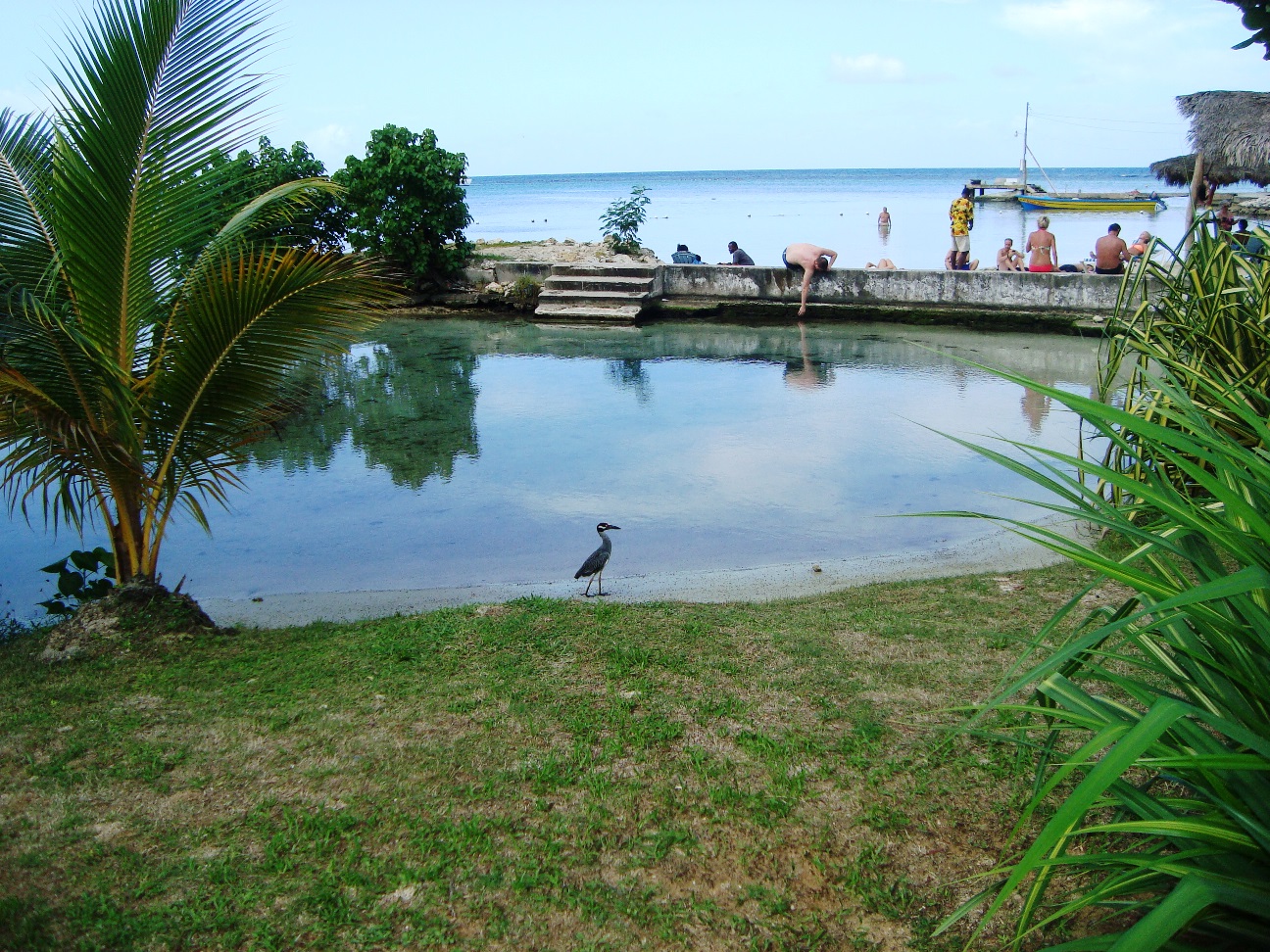
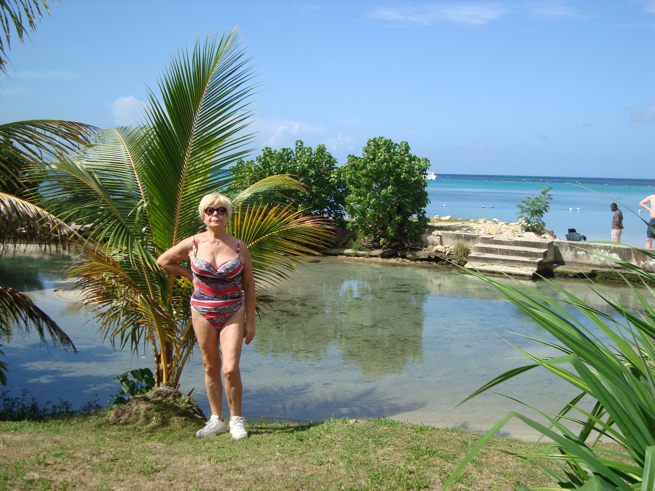
Great Stirrup Cay is a small island that is part of the Berry Islands in the Bahamas.
Norwegian Cruise Line purchased the island from Belcher Oil Company in 1977 and developed it into a private island for their cruise ship passengers.
The northern part of the island has a sandy beach surrounded by rocks with snorkeling areas.
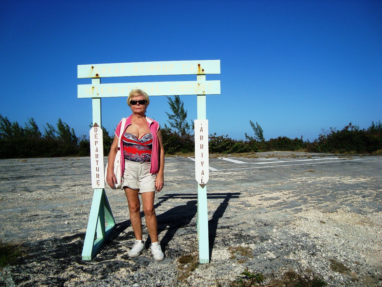
The southern part features a helicopter airfield (with a sign reading "Great Stirrup Cay International Airport"), a large area without vegetation, and numerous concrete blocks.
These are all remnants of a previous U.S. military installation and satellite tracking station.
The island's lighthouse was originally constructed in 1863 by the Imperial Lighthouse Service.

|
|
|
|
|
http://www.cruisin.me/cruisecams/ships/norwegian_cruise_line/norwegian_gem.php 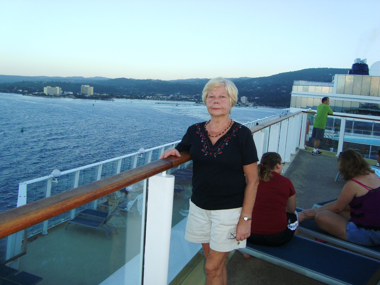
|
|
|
|
|
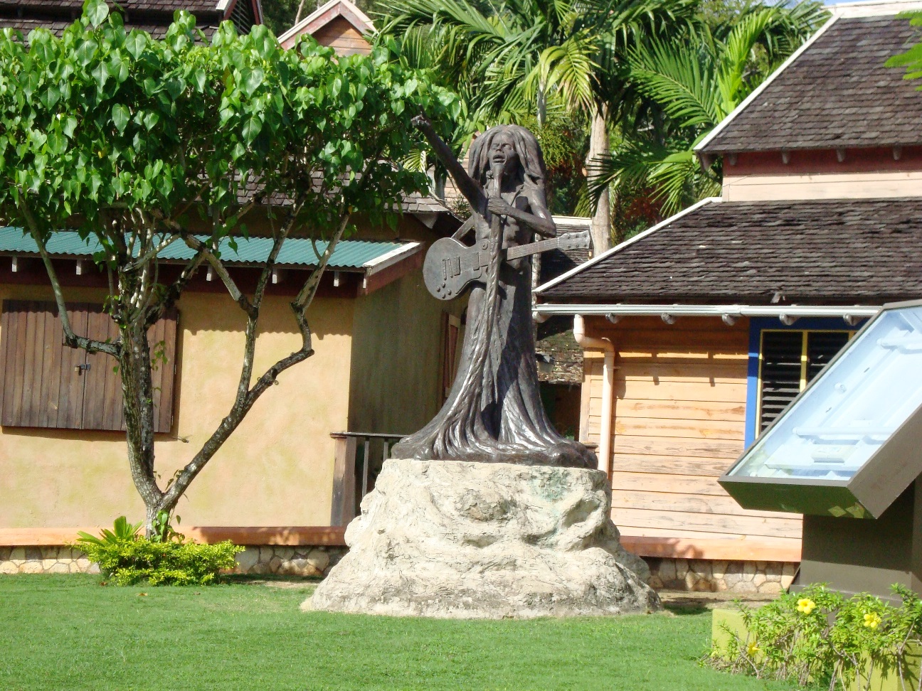
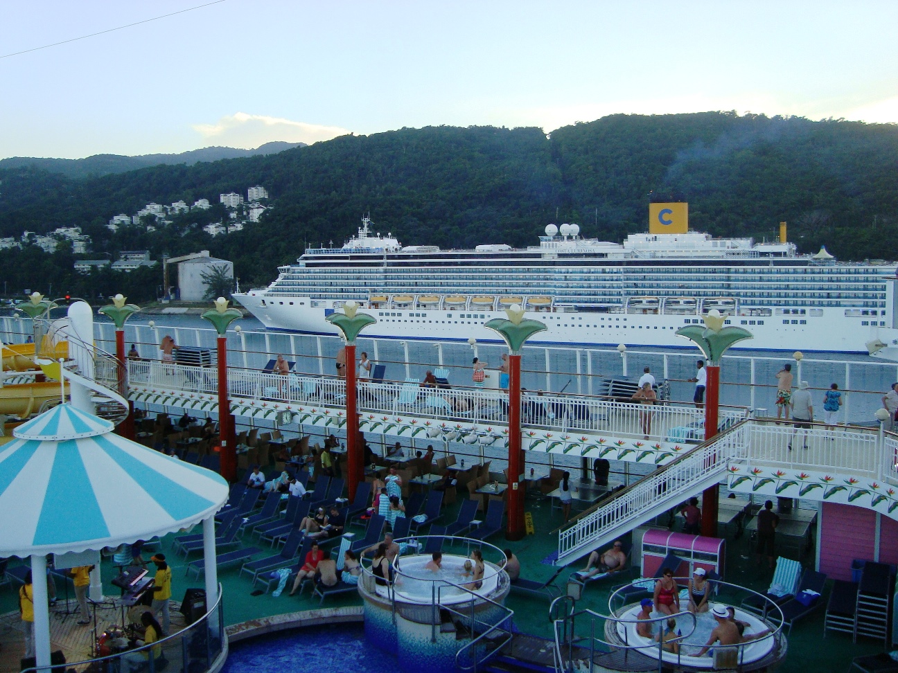
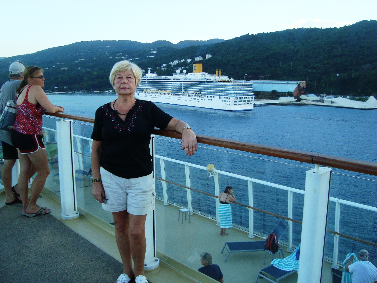
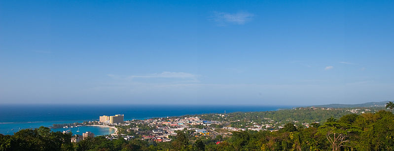
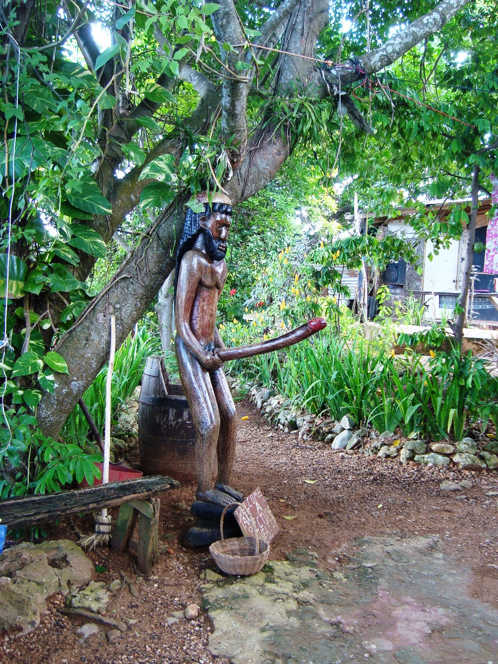
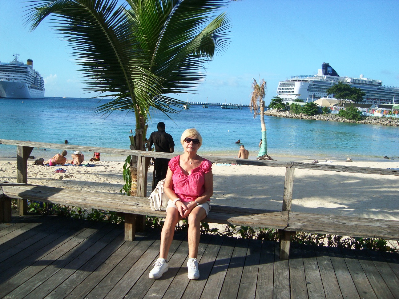
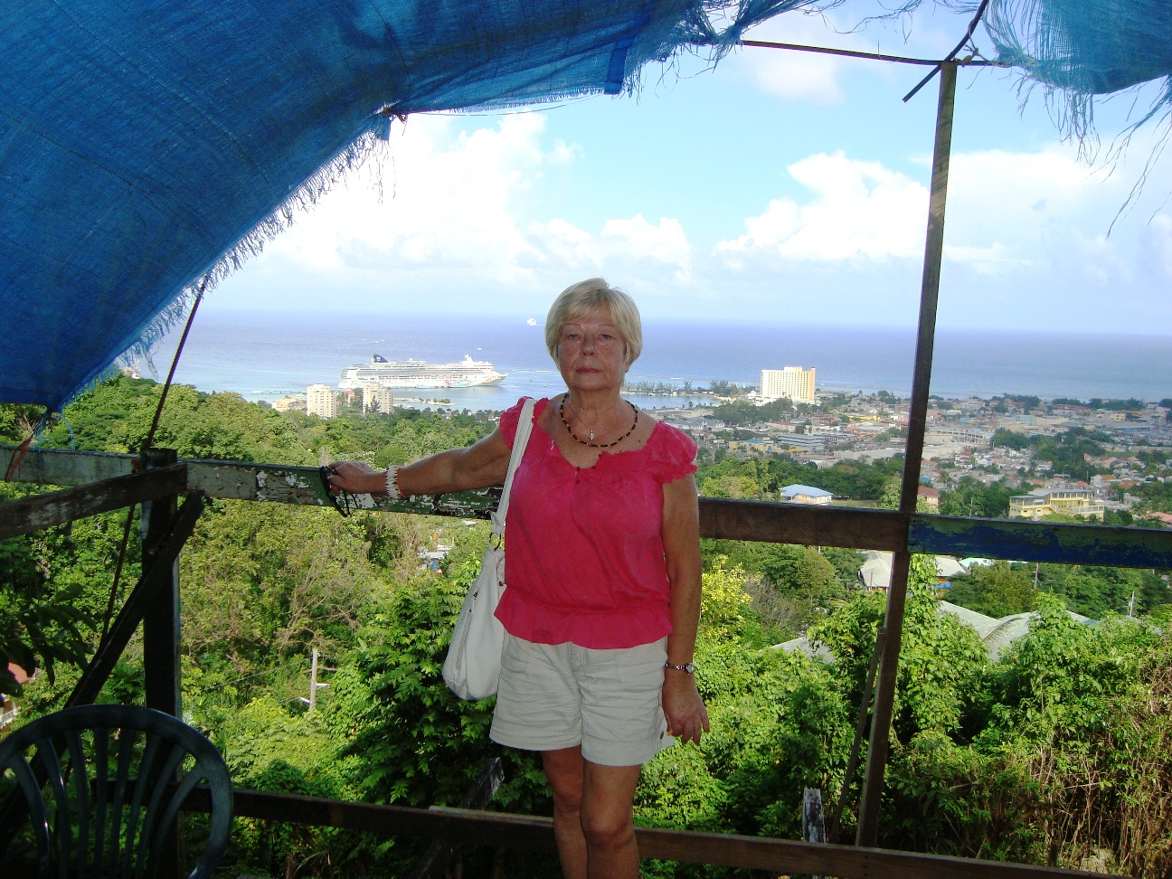
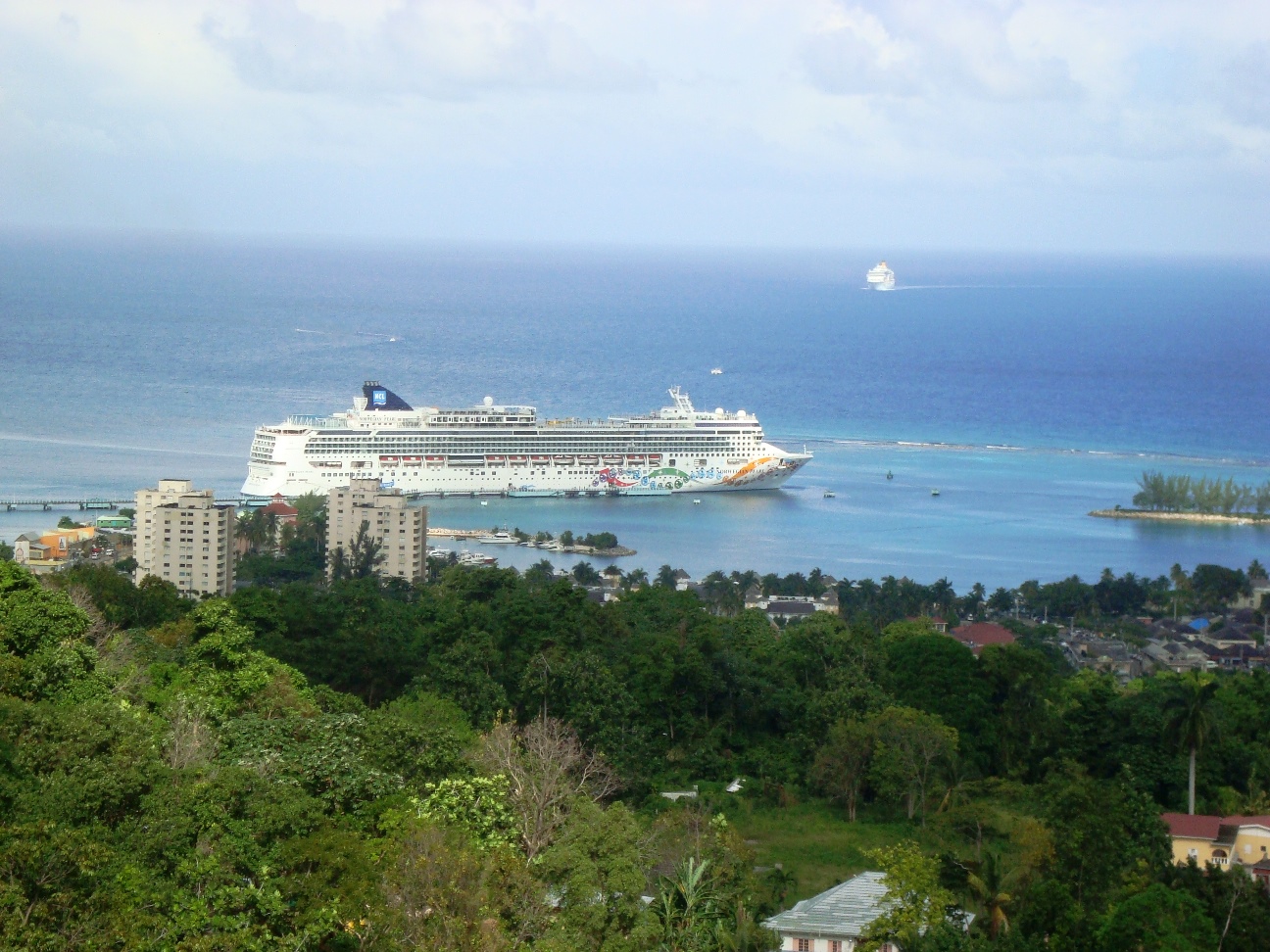
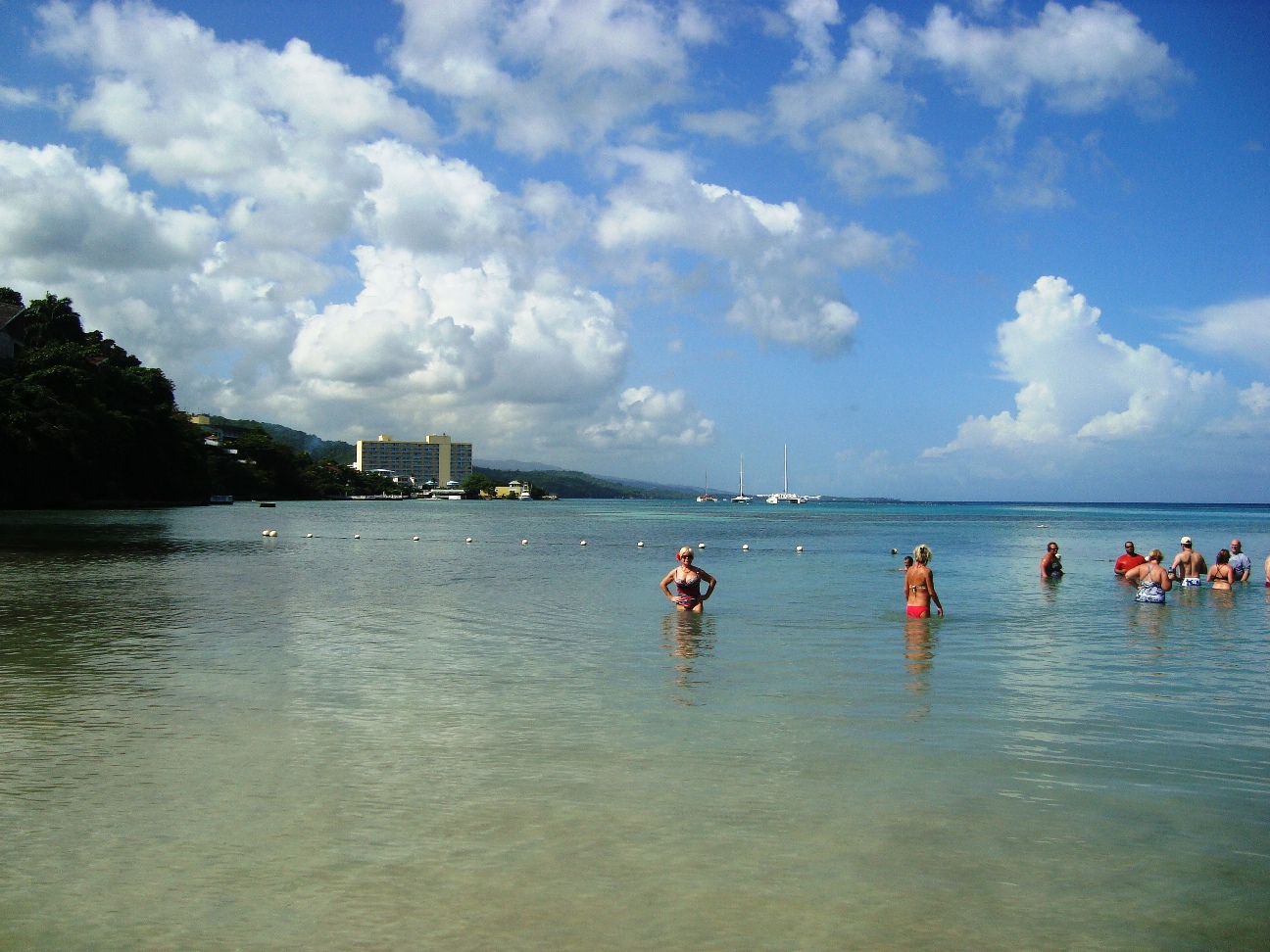
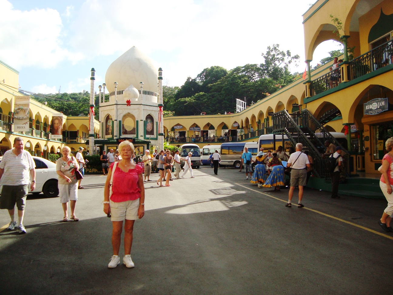
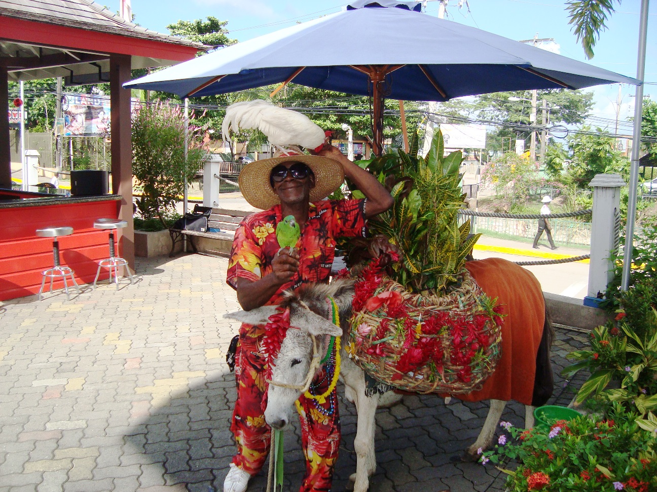
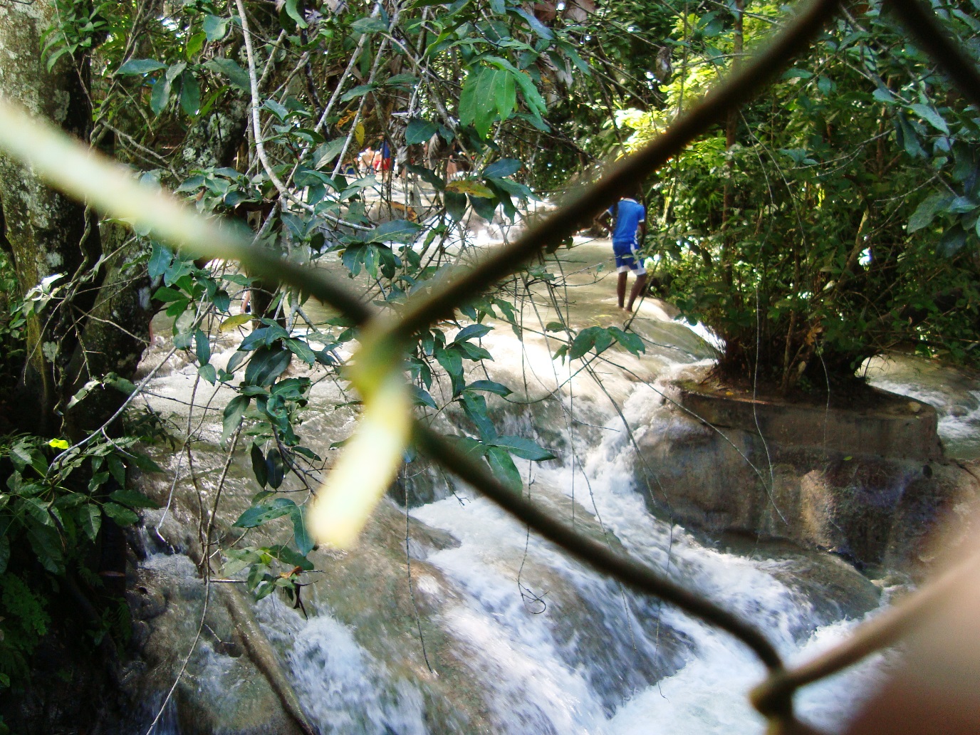
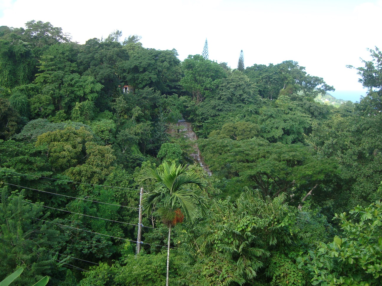
The name "Ocho Rios" is most likely a British corruption of the original Spanish name "Las Chorreras" ("the waterfalls"), a name given to the village because of the nearby Dunn's River Falls.
The Dunn's River cascades over a number of rock terraces on its way to the sea and a beautiful beach. The stepping stones of the falls allow easy access up and down their 600 feet, under a stimulating shower.
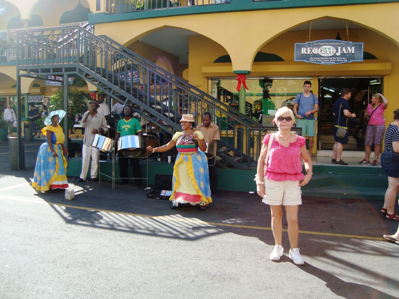
There is a Dunn's River feast every week with dancing, music and swimming.
The Spanish established a port in Discovery Bay after Christopher Columbus' arrival in 1494. The three-acre Columbus Park nearby has buildings from the Spanish colonial period.
In 1658 Rio Nueve was the site of a clash between Spanish and British troops over who would possess the island. As we now know, the British won the fray.
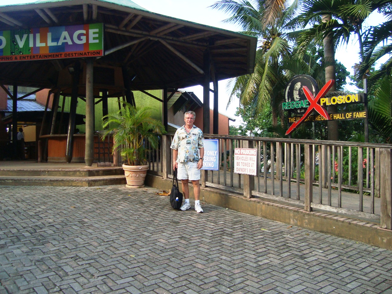
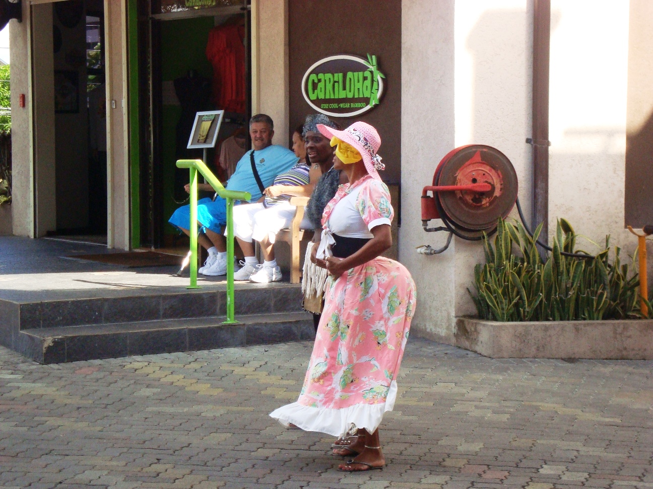
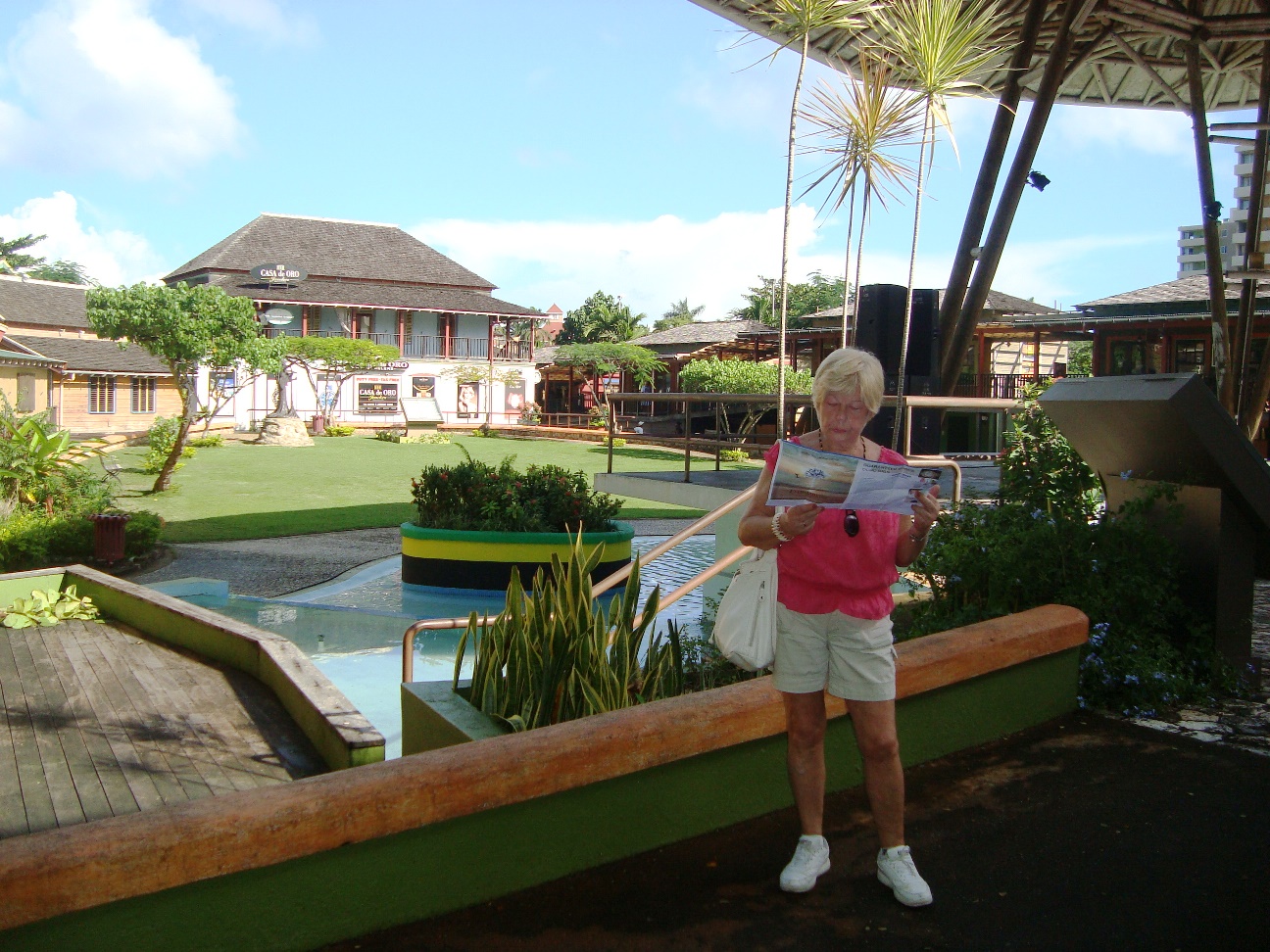
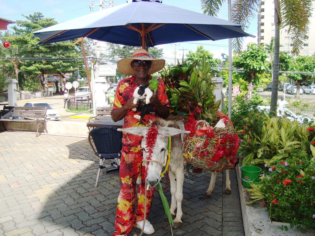
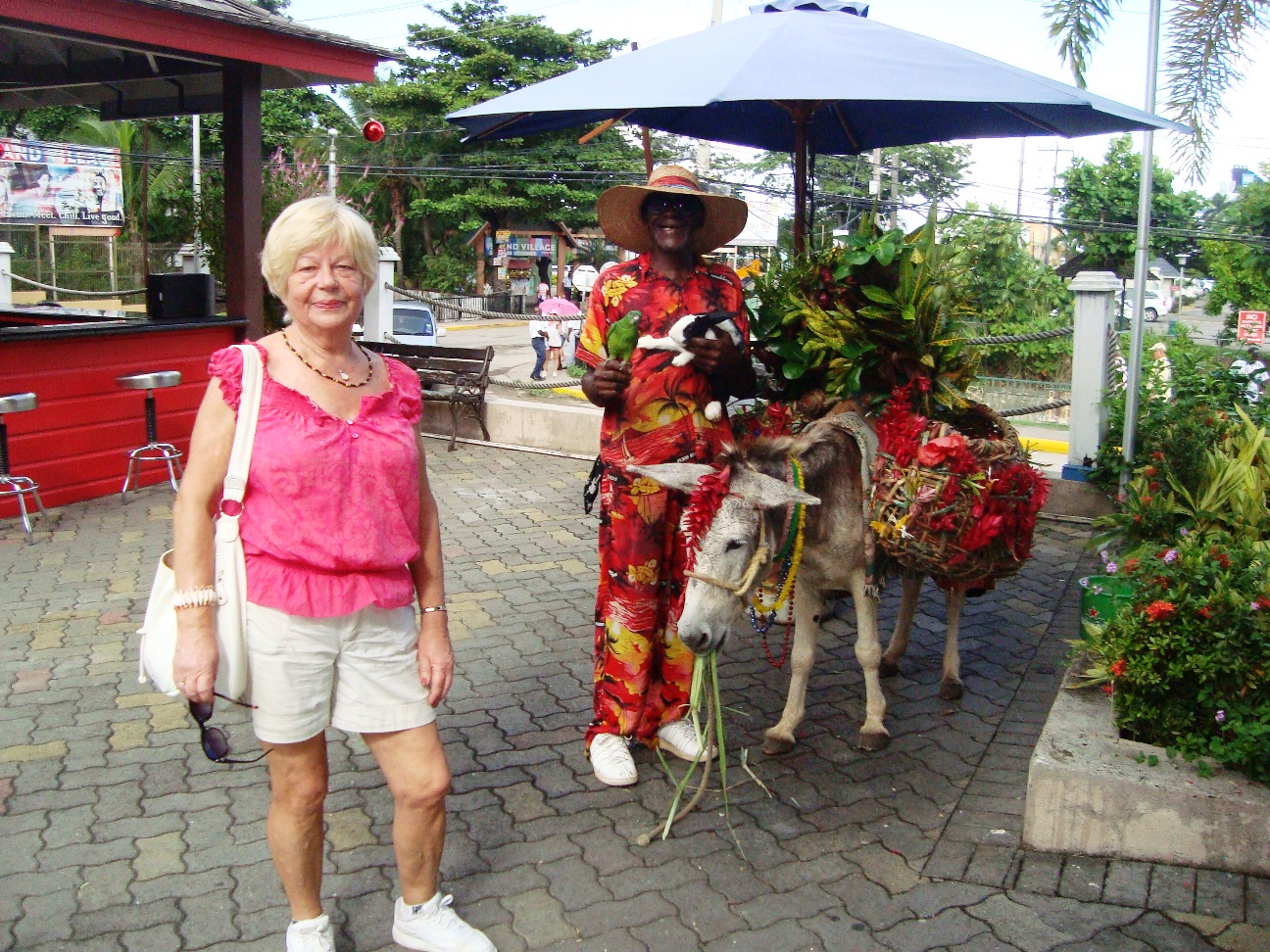
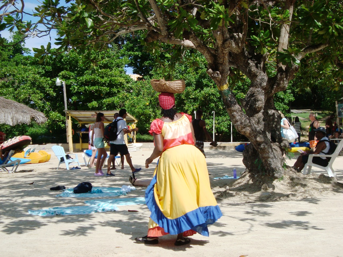
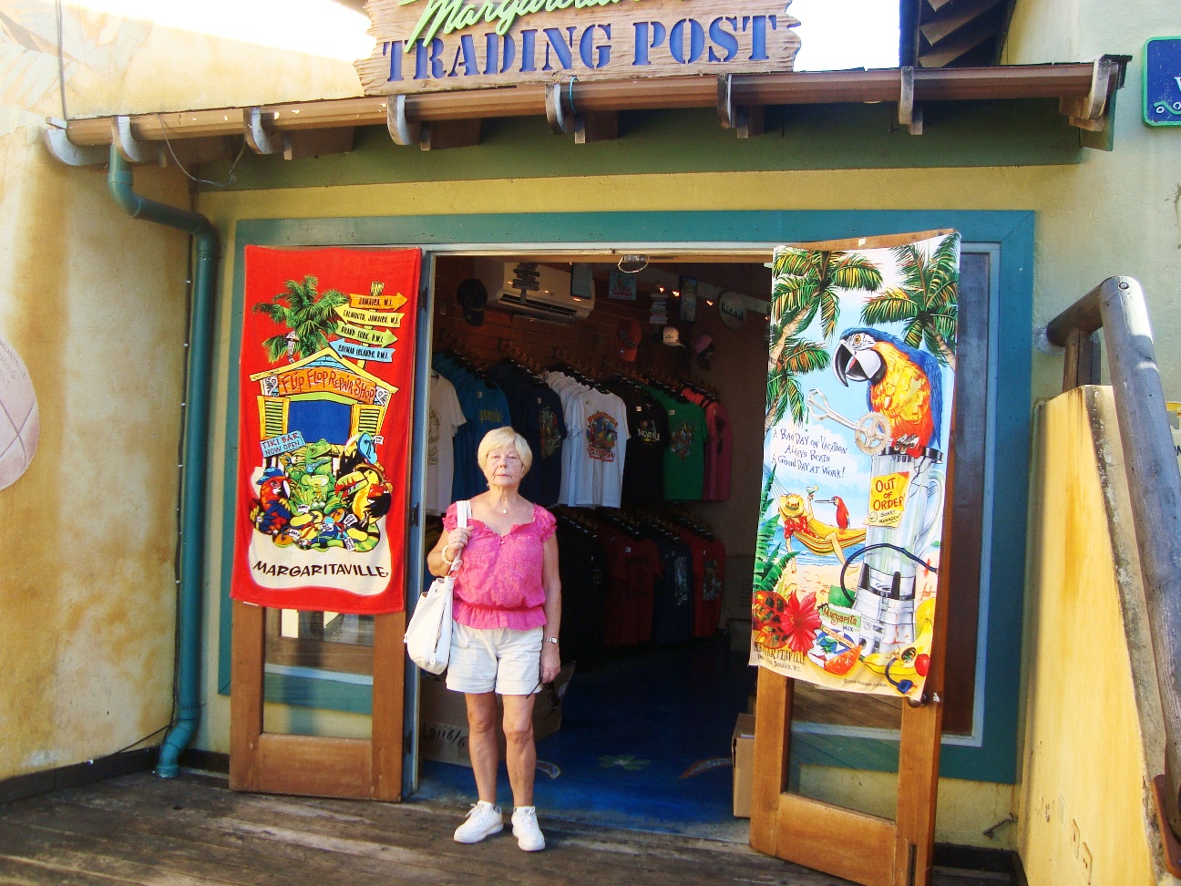
The town has restaurants, night clubs in Margaritaville and Dolphin Cove, where tourists swim and interact with dolphins.
Working plantations still exist at Prospect Estates and Brimmer Hall, model agricultural centers which the produce some of the island's major exports, coconuts, bananas and citrus fruits.
Tours of the estates include lessons on the life cycle of the banana plant and the proper way to carry a bunch of coconuts in a head basket.
|

|
|
|
|
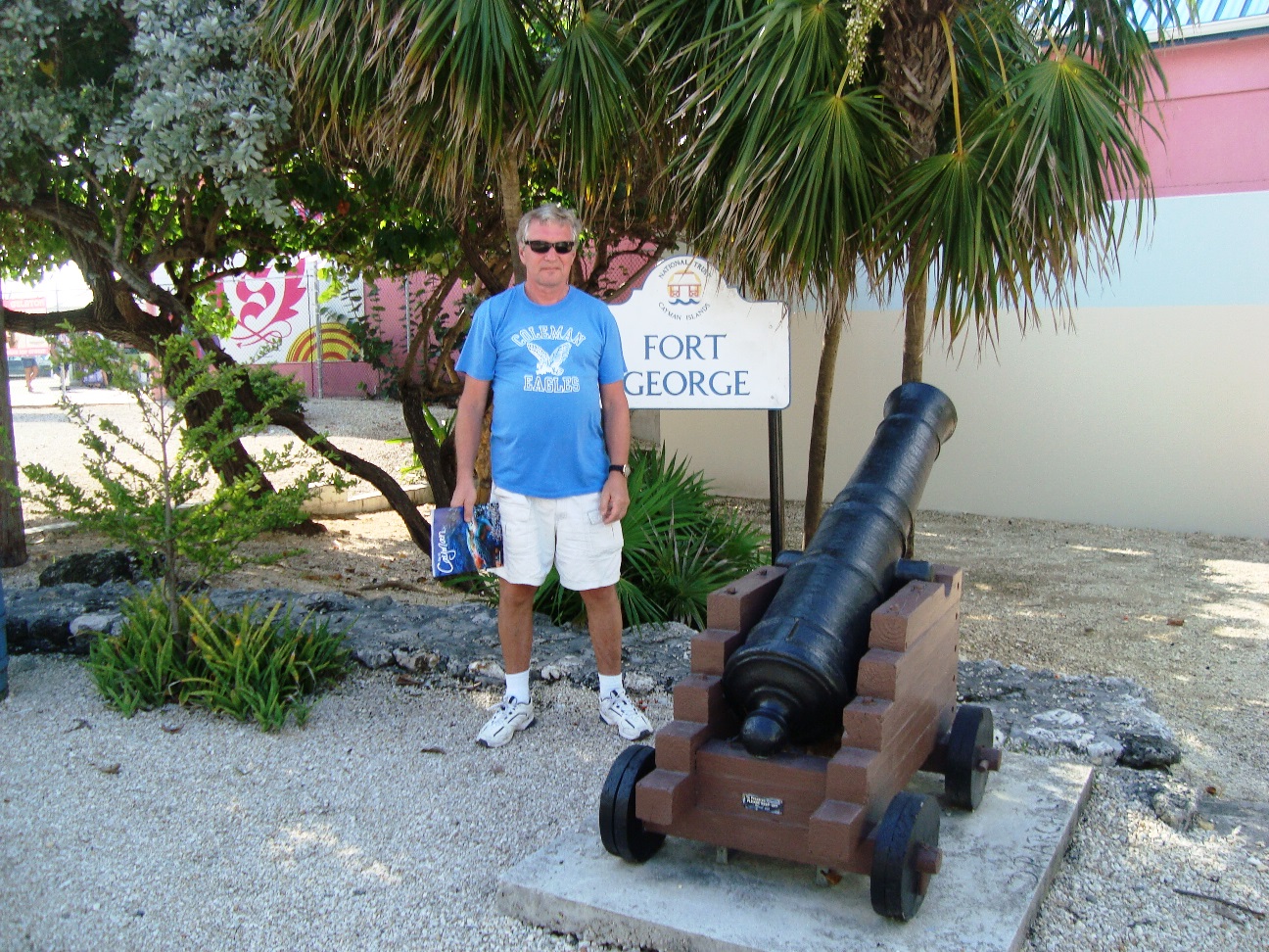
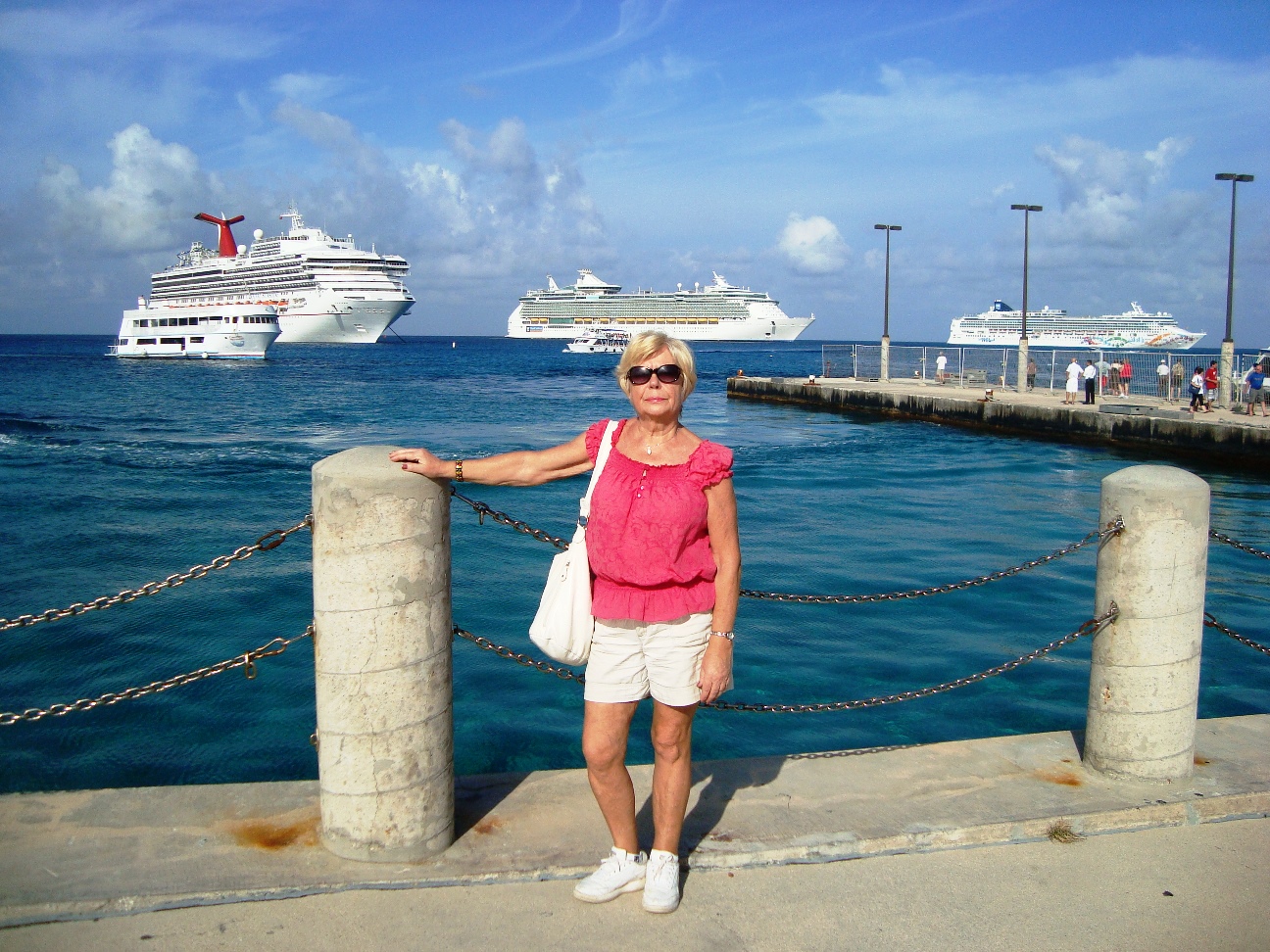
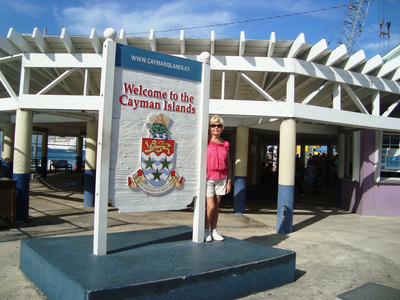
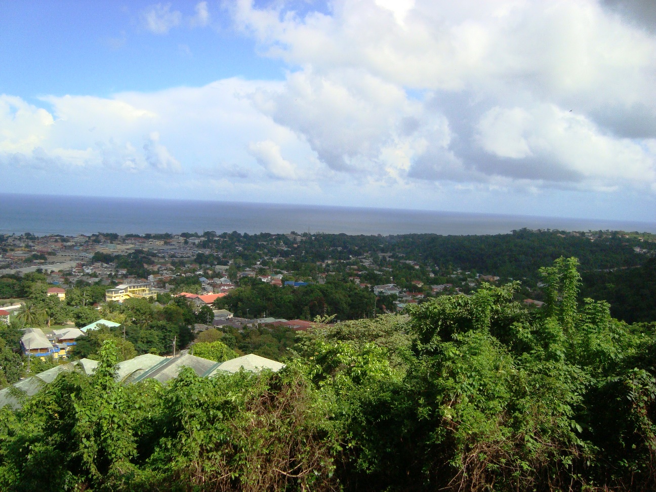
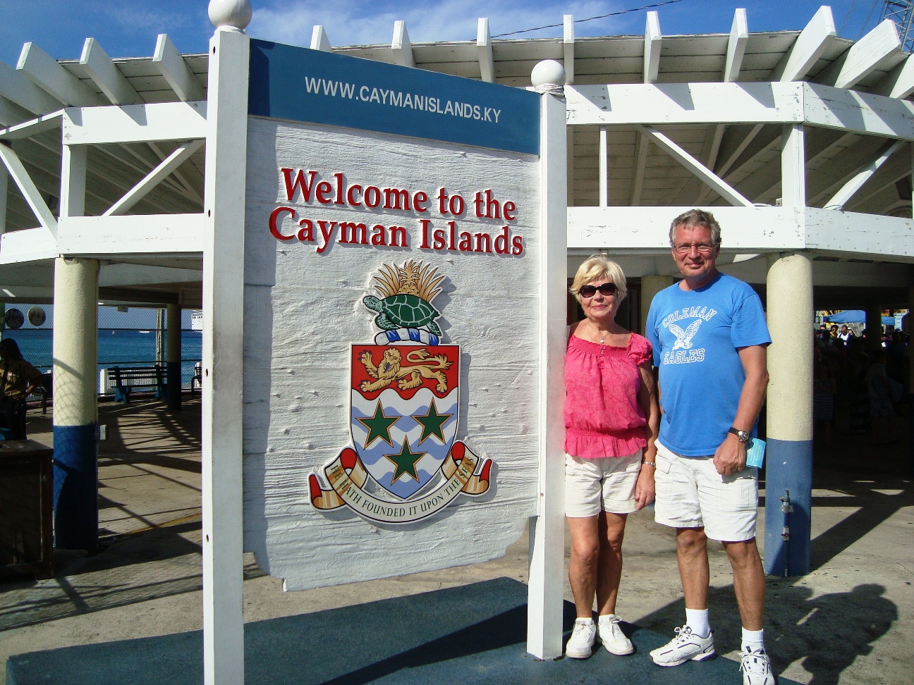
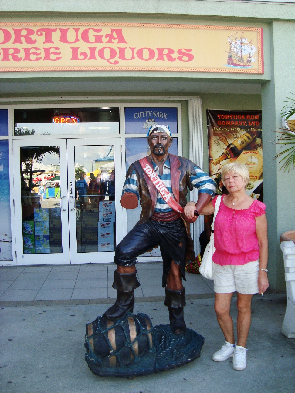
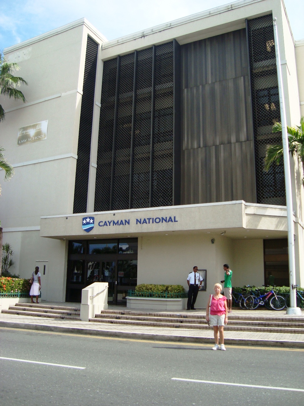
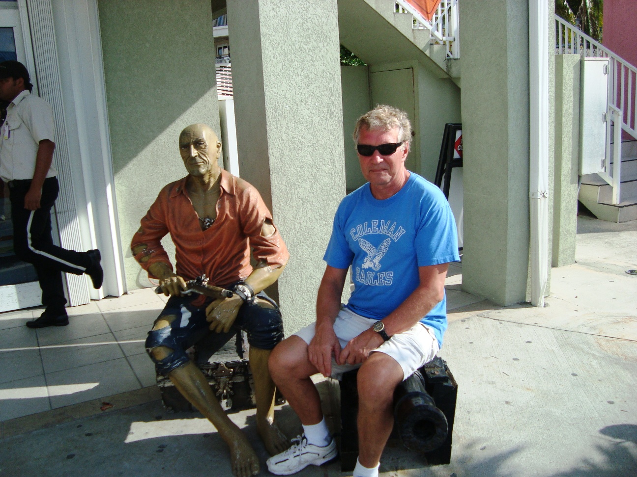
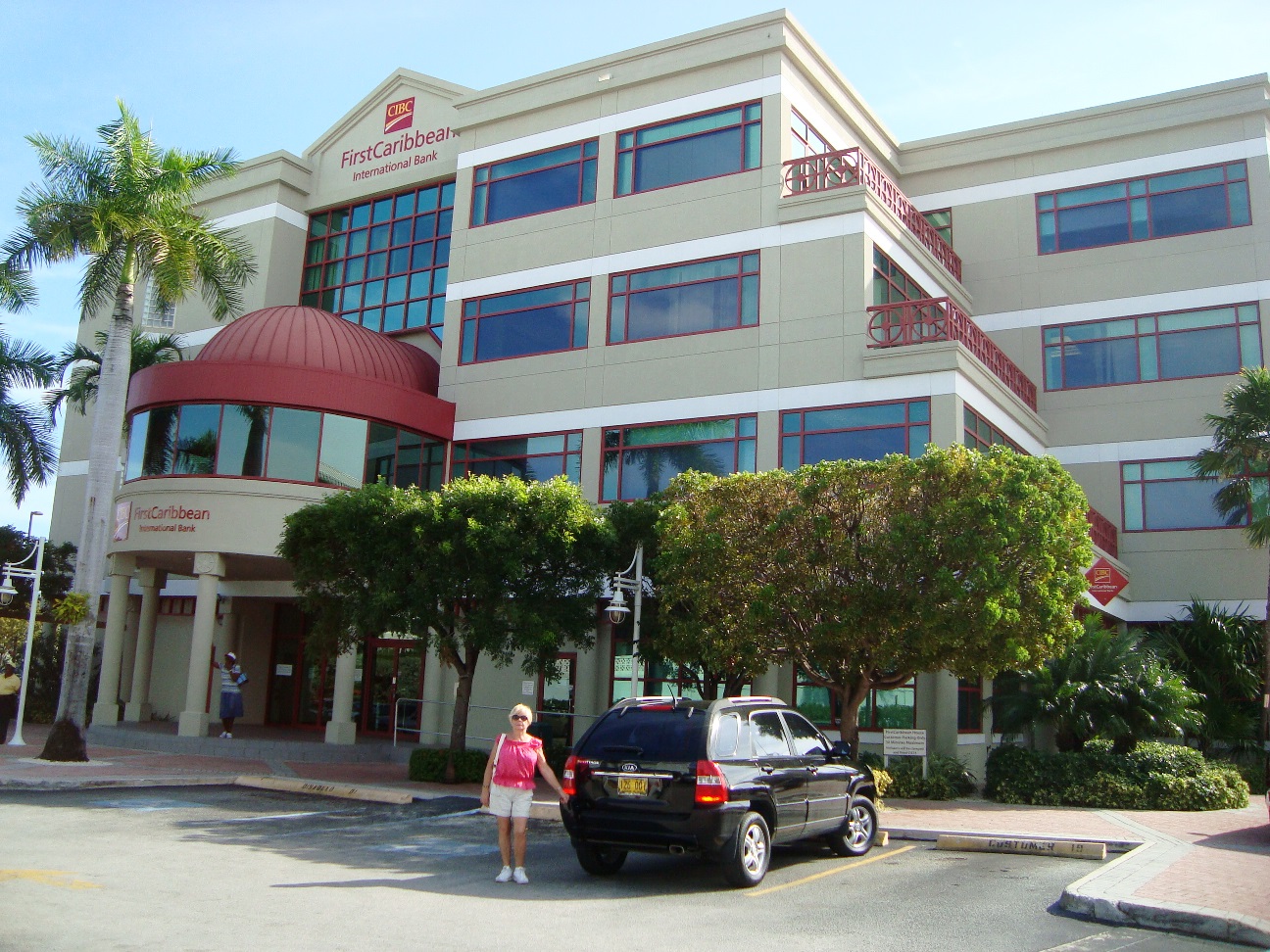
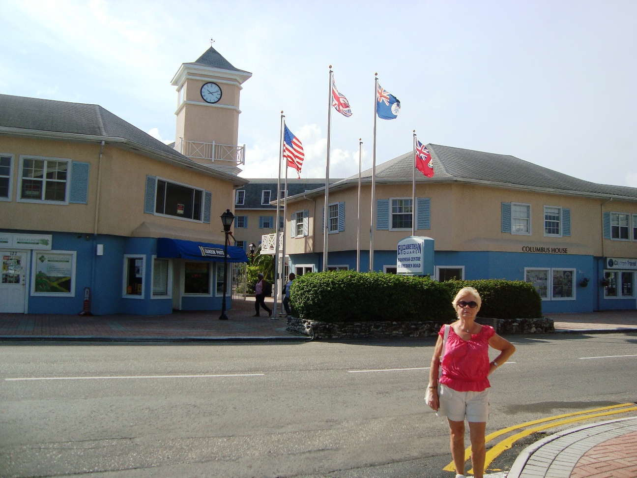
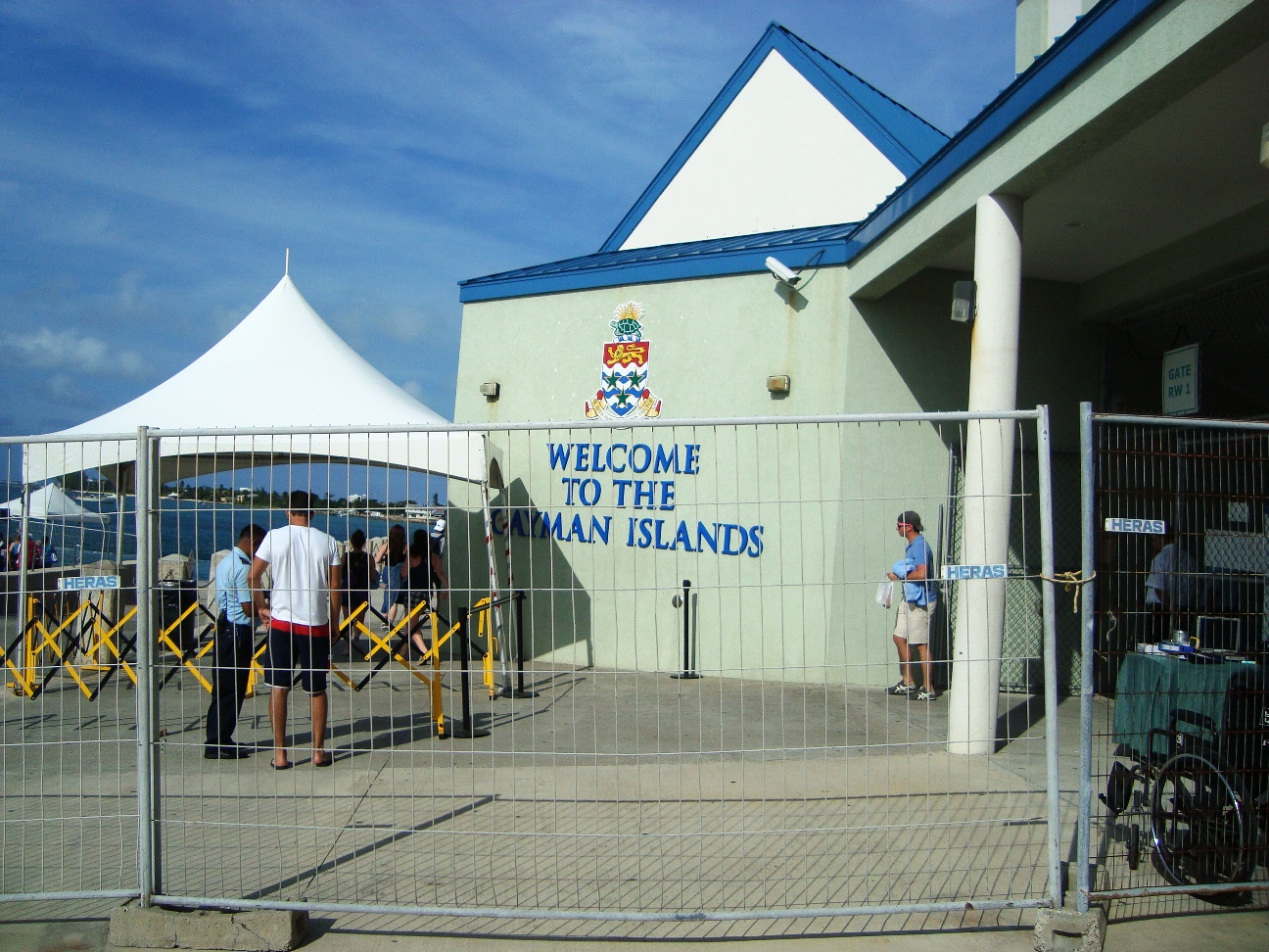
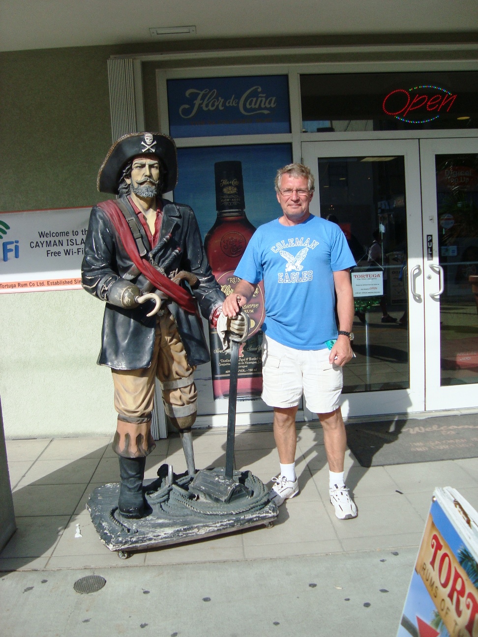
George Town is the capital of the Cayman Islands and center to government, banking and insurance sectors with over 600 banks. George Town is home to many restaurants, activities and shopping, as well as being the gateway to Cayman Islands cruise ships from around the world.
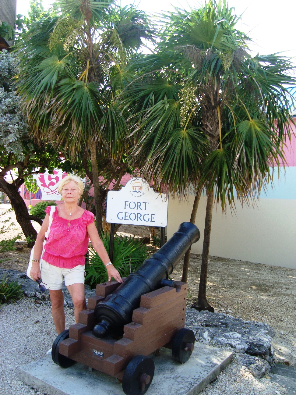
Fort George was constructed in 1790 to defend against French and Spanish marauders. The original cannons remain in tact, which is quite an accomplishment to their construction given the many storms, hurricanes and nor 'westers that have wreaked their havoc over the centuries.
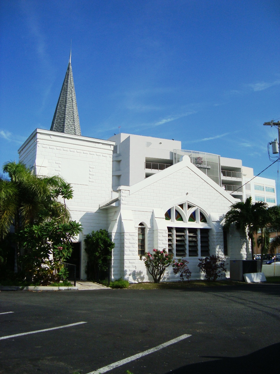
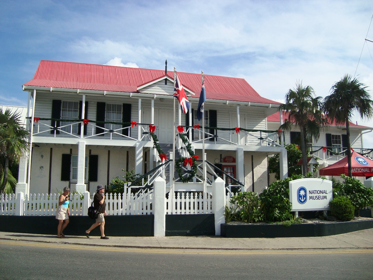
Grand Cayman's National Museum in George Town displays a broad array of artifacts; indeed, the building itself is an artifact as it is the oldest standing building in George Town.
The first permanent inhabitant on record in the Cayman Islands�Isaac Bodden was born in George Town in Grand Cayman in 1661. After the taking of Jamaica in 1655, Many of Oliver Cromwell's soldiers migrated to the Cayman Islands and made George Town the first part of Grand Cayman to become populated.


|
|
|
|
|

|

|
| Design and pictures made by George and Valentina. |
You are
|
 To send your impressions about this page to WebMaster click on @-icon
|
|
Home |
